2026-02-23T13:00:00-08:00
Snow levels will range between 3,000 to 4,000 ft. * WHAT...Snow expected. Total snow accumulations 8 to 12 inches. * WHERE...Cascades of Snohomish and Northern King Counties and Cascades of Whatcom and Skagit Counties. * WHEN...From 8 PM this evening to 1 PM PST Monday. * IMPACTS...Travel could be very difficult to impossible. The hazardous conditions could impact the Monday morning commute.
Summary
Towering at an elevation of 8,056 feet, this majestic mountain offers a challenging and exhilarating experience for mountaineers. With its steep and rugged terrain, Mount Torment is a popular destination for climbers seeking a rewarding adventure.
During the winter season, Mount Torment receives a significant amount of snowfall, contributing to the incredible snowpack range. This abundant snow accumulation makes the mountain a haven for winter sports enthusiasts, offering thrilling opportunities for skiing, snowboarding, and snowshoeing.
Nestled amidst this picturesque landscape, Mount Torment also serves as a primary source for several creeks and rivers. The mountain's melting snow and glaciers give rise to the Cascade River, Sibley Creek, and other waterways. These water bodies not only add to the beauty of the surrounding area but also provide a habitat for diverse flora and fauna.
The history of the name "Mount Torment" is steeped in intriguing lore. It is said that early explorers and mountaineers bestowed the name due to the challenging nature of climbing this peak. The rugged terrain and formidable weather conditions were believed to test the limits of even the most experienced climbers, hence the name "Torment."
Multiple independent sources confirm the accuracy of this summary, providing a comprehensive understanding of Mount Torment's significant metrics, including its elevation, snowpack range during winter, and the impact it has on surrounding creeks and rivers.
°F
°F
mph
Wind
%
Humidity
15-Day Weather Outlook
5-Day Hourly Forecast Detail
Regional Streamflow Levels
72
Cubic Feet Per Second
11
Cubic Feet Per Second
1,250
Cubic Feet Per Second
68
Cubic Feet Per Second
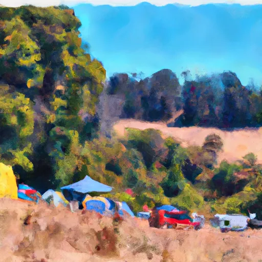
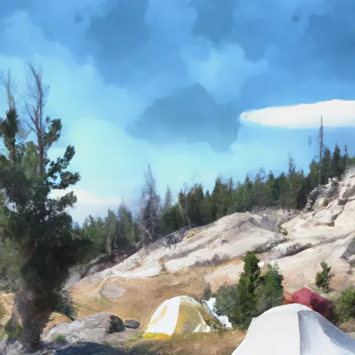
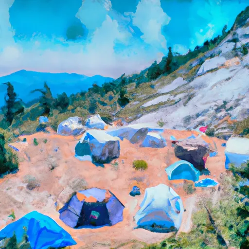
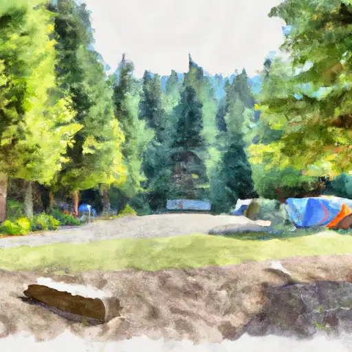
Area Campgrounds
| Location | Reservations | Toilets |
|---|---|---|
 Johannesburg Camp
|
||
 Skagit Queen
|
||
 Pelton Basin
|
||
 Thunder Basin Stock
|
||
 Thunder Basin Hiker
|
||
 Mineral Park
|
