2026-02-23T13:00:00-08:00
Snow levels will range between 3,000 to 4,000 ft. * WHAT...Snow expected. Total snow accumulations 8 to 12 inches. * WHERE...Cascades of Snohomish and Northern King Counties and Cascades of Whatcom and Skagit Counties. * WHEN...From 8 PM this evening to 1 PM PST Monday. * IMPACTS...Travel could be very difficult to impossible. The hazardous conditions could impact the Monday morning commute.
Summary
Standing tall at an elevation of approximately 2,024 meters (6,640 feet), it offers breathtaking panoramic views of the surrounding wilderness. This mountain is a popular destination for mountaineers, hikers, and outdoor enthusiasts.
During the winter season, Round Mountain receives a substantial amount of snowfall, contributing to its remarkable snowpack range. The snowpack varies annually, but it typically accumulates between 2 to 5 meters (6 to 16 feet), creating an ideal environment for winter sports like skiing and snowboarding.
The mountain's snowmelt feeds into several creeks and rivers in the region. Specific examples include the nearby Smith River and the Quinault River, which both receive runoff from Round Mountain. These waterways provide important resources for the local ecosystem and are often frequented by anglers and wildlife enthusiasts.
Round Mountain's name is derived from its distinctive shape, resembling a rounded dome when viewed from certain angles. While there may not be any specific legends or lore associated with this particular mountain, the Pacific Ranges mountain range as a whole is rich in Indigenous history and cultural significance. It is always important to respect and acknowledge the traditional landowners and their contributions to the area.
Sources:
- "Round Mountain, Washington" - SummitPost.org
- "Round Mountain Trail" - AllTrails.com
- "Pacific Ranges" - BritishColumbia.com
°F
°F
mph
Wind
%
Humidity
15-Day Weather Outlook
5-Day Hourly Forecast Detail
Regional Streamflow Levels
21
Cubic Feet Per Second
61
Cubic Feet Per Second
8
Cubic Feet Per Second
1,080
Cubic Feet Per Second
Area Campgrounds
| Location | Reservations | Toilets |
|---|---|---|
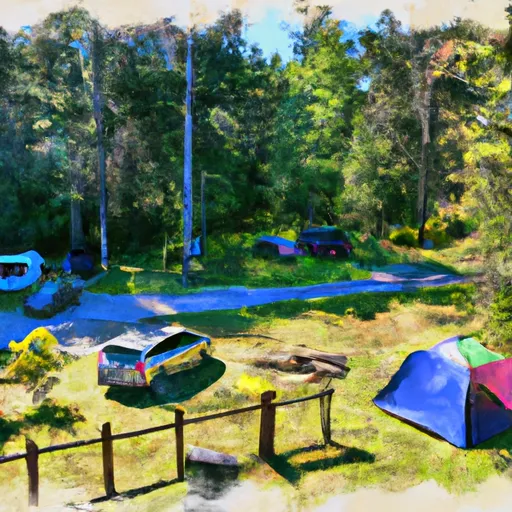 Squire Creek Park & Campground
|
||
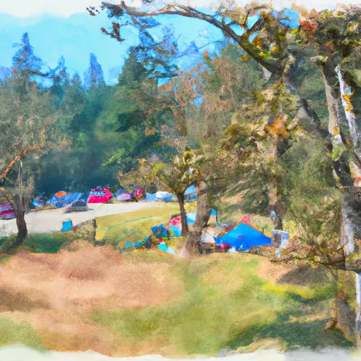 Squire Creek County Park
|
||
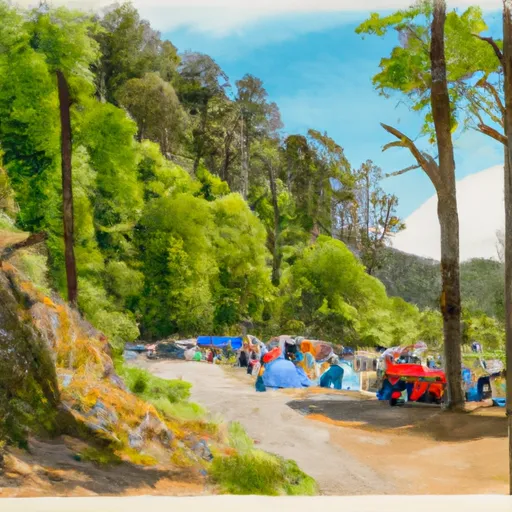 Sauk Park
|
||
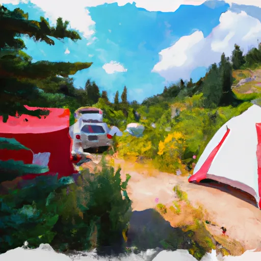 Grouse Camp Site
|
||
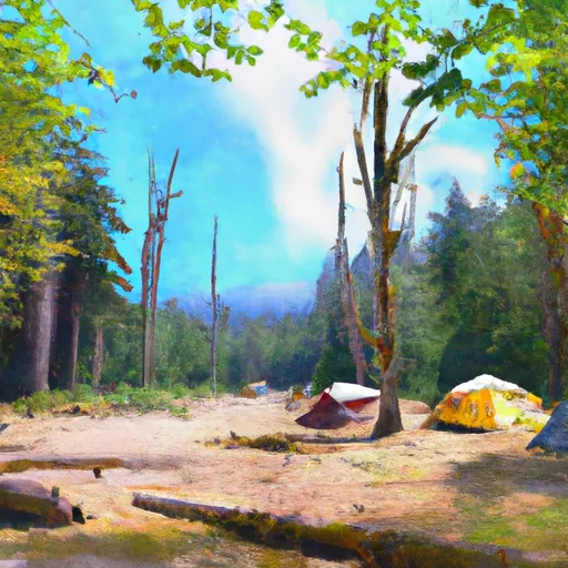 Cougar Group Camp
|
||
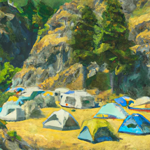 Steelhead Group Camp
|
