2026-02-23T13:00:00-08:00
Snow levels will range between 3,000 to 4,000 ft. * WHAT...Snow expected. Total snow accumulations 8 to 12 inches. * WHERE...Cascades of Pierce and Lewis Counties and Cascades of Southern King County. * WHEN...From 8 PM this evening to 1 PM PST Monday. * IMPACTS...Travel could be very difficult to impossible. The hazardous conditions could impact the Monday morning commute.
Summary
Standing tall with an elevation of approximately 7,464 feet (2,275 meters), it offers a challenging climb for experienced mountaineers. This mountain showcases the grandeur of the surrounding wilderness, attracting outdoor enthusiasts from around the world.
During the winter season, Sluiskin Mountain receives a significant amount of snowfall, contributing to the region's impressive snowpack. This allows for excellent skiing and snowboarding opportunities for winter sports enthusiasts. The snowpack range can vary depending on the annual snowfall, with depths ranging from several feet to over ten feet in some areas.
The mountain's slopes and peaks feed into various creeks and rivers in the surrounding area. These include the Ohanapecosh River and the Chinook Creek, which receive runoff from the mountain's melting snow during the spring and summer months. This runoff contributes to the rich ecosystem of the region, supporting diverse plant and animal life.
The name "Sluiskin" holds historical and cultural significance. It honors a Native American guide and interpreter named Sluiskin, who played a crucial role in the early exploration of Mount Rainier. Sluiskin's knowledge of the mountain's trails and terrain was invaluable to the first climbers and surveyors in the region. This mountain stands as a tribute to his contributions and serves as a reminder of the rich history and legends associated with the Pacific Ranges mountain range.
°F
°F
mph
Wind
%
Humidity
15-Day Weather Outlook
5-Day Hourly Forecast Detail
Regional Streamflow Levels
1,210
Cubic Feet Per Second
2,820
Cubic Feet Per Second
1,450
Cubic Feet Per Second
714
Cubic Feet Per Second
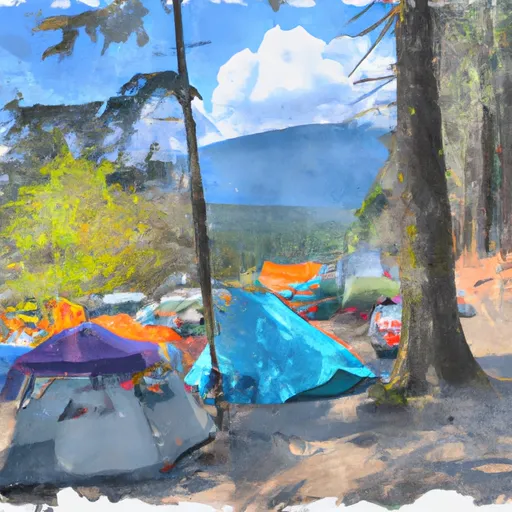
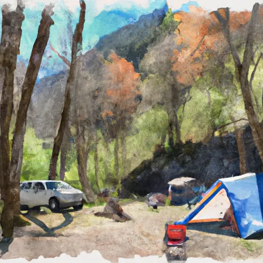
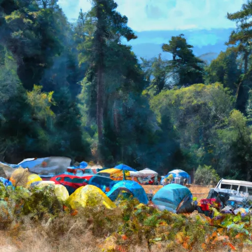
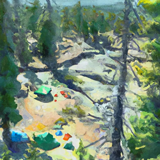
Area Campgrounds
| Location | Reservations | Toilets |
|---|---|---|
 James Camp
|
||
 Yellowstone Cliffs Camp
|
||
 Granite Creek Camp
|
||
 Dick Creek Camp
|
||
 Mystic Camp
|
||
 Fire Creek Camp
|
