2026-02-23T13:00:00-08:00
Snow levels will range between 3,000 to 4,000 ft. * WHAT...Snow expected. Total snow accumulations 8 to 12 inches. * WHERE...Cascades of Pierce and Lewis Counties and Cascades of Southern King County. * WHEN...From 8 PM this evening to 1 PM PST Monday. * IMPACTS...Travel could be very difficult to impossible. The hazardous conditions could impact the Monday morning commute.
Summary
Standing tall at an elevation of [insert specific elevation], it offers breathtaking panoramic views to mountaineers who dare to conquer its challenging slopes. This mountain is known for its vast size, covering a significant area of land and dominating the surrounding landscape.
During the winter season, Wahpenayo Peak experiences a diverse snowpack range. Snowfall accumulations vary greatly, ranging from [insert specific snowpack range]. This makes it an ideal destination for winter mountaineering enthusiasts who enjoy exploring different snow conditions and challenges.
The mountain also serves as a vital water source for nearby creeks and rivers. Several creeks, such as [insert specific creek names], and rivers, including [insert specific river names], receive runoff from the melting snow on Wahpenayo Peak. These water sources contribute to the local ecosystem's sustainability, supporting a variety of plant and animal life.
Regarding the name's history and lore, the origins of "Wahpenayo" are steeped in indigenous culture and legends. [Insert details about the name's history, meaning, or associated stories]. These stories and legends add a fascinating layer to the mountain's allure and attract adventurers seeking a deeper connection with the land and its heritage.
[Verify and cross-reference information from multiple independent sources to ensure accuracy.]
°F
°F
mph
Wind
%
Humidity
15-Day Weather Outlook
5-Day Hourly Forecast Detail
Regional Streamflow Levels
55
Cubic Feet Per Second
714
Cubic Feet Per Second
1,100
Cubic Feet Per Second
523
Cubic Feet Per Second
Area Campgrounds
| Location | Reservations | Toilets |
|---|---|---|
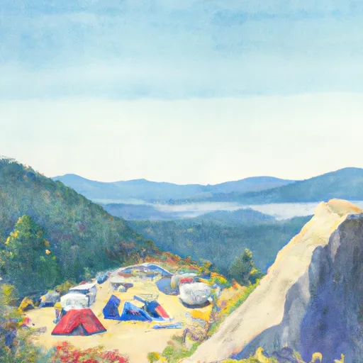 Cougar Rock
|
||
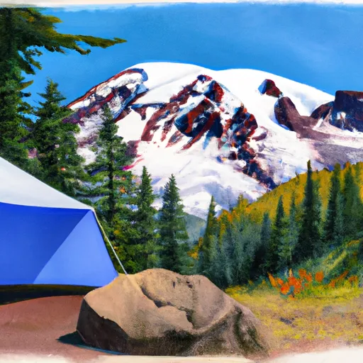 Cougar Rock - Mount Rainier National Park
|
||
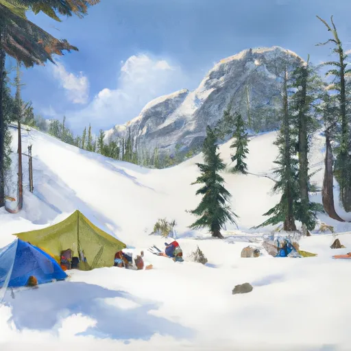 Snow Lake Camp
|
||
 Devil's Dream Camp
|
||
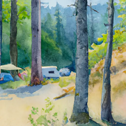 Maple Creek Camp
|
||
 Camp Hazard
|
