2026-02-24T17:00:00-07:00
* WHAT...West winds 35 to 50 mph with gusts up to 80 mph possible. * WHERE...The Northern Front Range Foothills, the Mosquito Range, and the Front Range Mountains including, Rocky Mountain National Park and the Indian Peaks. * WHEN...From Tuesday morning through late Tuesday afternoon. * IMPACTS...Gusty winds will blow around unsecured objects and a few power outages may result. Travel could be difficult, especially for high profile vehicles.
Summary
With an elevation of 13,951 feet (4256 meters), it stands as one of the prominent peaks in the region. This majestic mountain offers a diverse range of activities for outdoor enthusiasts, including hiking, snowshoeing, and climbing.
During the winter season, Fletcher Mountain experiences a substantial snowpack, with snow depths ranging from several feet to over ten feet. This makes it an ideal destination for winter sports such as skiing and snowboarding. Adventurers need to be well-prepared and equipped with appropriate gear due to the unpredictable weather conditions and avalanche risks associated with the area.
Fletcher Mountain serves as a significant water source for neighboring creeks and rivers. The mountain's snowmelt contributes to the runoff in Clinton Gulch Creek, which flows into the Tenmile Creek and eventually into the Blue River. This water system supports diverse wildlife and vegetation along its course.
The name Fletcher Mountain is said to have been derived from Alonzo Fletcher, a prospector who explored the area during the late 1800s. Although not much historical information is available about Fletcher himself, his name endures as a tribute to the early pioneers who ventured through these rugged lands.
In conclusion, Fletcher Mountain in the Rocky Mountains offers a challenging and rewarding mountaineering experience. Its impressive elevation, substantial snowpack, and contribution to the local water system make it a significant part of the region's natural landscape. Whether you seek adventure or simply want to soak in the beauty of the Rockies, Fletcher Mountain is a destination worth adding to your mountaineering bucket list.
°F
°F
mph
Wind
%
Humidity
15-Day Weather Outlook
5-Day Hourly Forecast Detail
Regional Streamflow Levels
-999
Cubic Feet Per Second
8
Cubic Feet Per Second
21
Cubic Feet Per Second
11
Cubic Feet Per Second
Area Campgrounds
| Location | Reservations | Toilets |
|---|---|---|
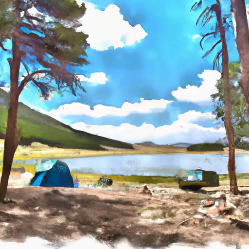 Kite Lake
|
||
 Kite Lake Campground
|
||
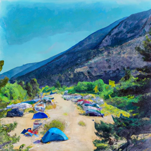 Camp Hale East Fork Group Campground
|
||
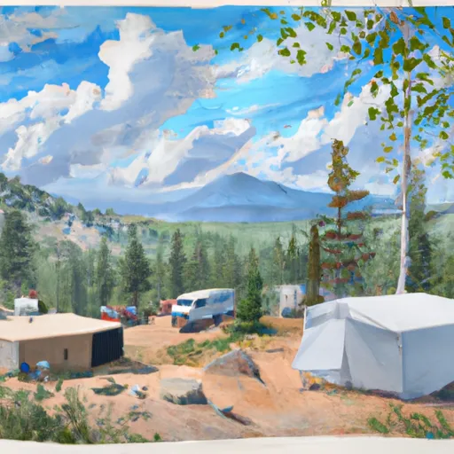 Boreas Pass Section House
|
||
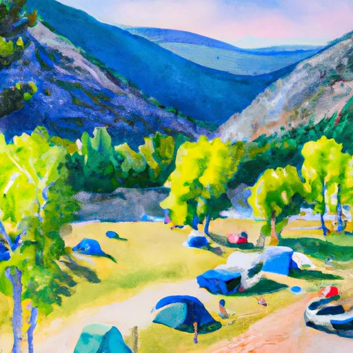 Selkirk Campground
|
||
 Selkirk
|

 Curtain Ponds
 Officers Gulch Pond
 Camp Hale Pond Fishing Pier
 Black Lakes (Vail)