2026-02-24T05:00:00-07:00
...WINTRY MIX IN VALLEYS AND MOUNTAIN SNOW MONDAY THROUGH MONDAY NIGHT... .Snow levels will be borderline in northwest Montana valleys, and a wintry mix brings an increased risk for slick conditions during the Monday morning commute. Confidence is highest for accumulating snow across Lincoln County valley areas. Over mountain passes, snow will begin overnight with minor impacts, intensifying by Monday afternoon. Expect moderate travel impacts with slushy accumulation on I-90 and US-2 through Monday night. * WHAT...Snow expected. There is a likelihood of minor to moderate winter weather impacts. Total snow accumulations of 1 to 4 inches in the valleys and 6 to 9 inches from Essex to Marias Pass. Higher amounts are expected in the higher terrain. Winds gusting as high as 35 mph. * WHERE...Highway 83 Bigfork to Swan Lake, Essex, Glacier National Park, Marias Pass, Polebridge, and Bad Rock Canyon. * WHEN...From 5 AM Monday to 5 AM MST Tuesday. * IMPACTS...For MODERATE winter weather impacts, expect disruptions to normal activities. Hazardous traveling conditions. Use extra caution while driving. Closures and disruptions to infrastructure may occur.
Summary
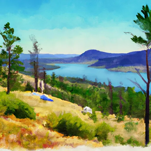
Standing at an impressive elevation of approximately 9,637 feet, it offers breathtaking views of the surrounding area. The mountain boasts a sizeable prominence, making it a popular destination for mountain climbers and outdoor enthusiasts.
During the winter season, Gunsight Mountain experiences a wide range of snowpack depths. The accumulation of snow can vary greatly depending on weather conditions and annual variations. Snow enthusiasts can expect to find excellent opportunities for winter activities such as skiing and snowboarding in this area.
Situated in the vicinity of Gunsight Mountain are several creeks and rivers that receive runoff from the mountain's snowmelt. These water sources contribute to the overall ecosystem and provide valuable resources for the surrounding flora and fauna. Some notable waterways include Smith Creek, which flows northeast of the mountain, and Flathead River, which receives runoff from Gunsight Mountain's southern slopes.
The origin of the name "Gunsight Mountain" is steeped in regional history. While specific legends or lore associated with the mountain are not readily available, it is possible that the name refers to the peak's distinctive shape resembling a gunsight or perhaps the use of the mountain as a landmark in the past. It is always advisable to cross-reference information from multiple independent sources to ensure accuracy.
°F
°F
mph
Wind
%
Humidity
15-Day Weather Outlook
5-Day Hourly Forecast Detail
Regional Streamflow Levels
183
Cubic Feet Per Second
631
Cubic Feet Per Second
113
Cubic Feet Per Second
27
Cubic Feet Per Second
Area Campgrounds
| Location | Reservations | Toilets |
|---|---|---|
 Lake Ellen Wilson
|
||
 Sperry
|
||
 Lincoln Lake
|
||
 Snyder Lake
|
||
 Gunsight Lake
|
||
 AVALANCHE CREEK
|
