Summary
Standing at an elevation of 12,721 feet (3,877 meters), it offers breathtaking panoramic views of the surrounding area. The mountain's size can be attributed to its prominence, which measures an impressive 6,181 feet (1,883 meters) and makes it a prominent landmark in the region.
During the winter season, Mount Peale experiences a significant snowpack, often attracting outdoor enthusiasts for backcountry skiing and snowboarding. The snowpack range can vary depending on weather conditions, but it typically accumulates several feet of snow, providing ample opportunities for winter sports.
Mount Peale is also known for its numerous creeks and rivers that receive runoff from its slopes. One such creek is the beautiful Pack Creek, which originates from the mountain and winds its way through the scenic valley below. The runoff from Mount Peale contributes to the water supply of these waterways, making them vital for the local ecosystem.
Regarding its name and lore, Mount Peale was named after Albert Peale, a member of the Hayden Geological Survey in the late 19th century. The mountain holds no known specific legends or lore, but it remains a stunning natural landmark with a rich mountaineering history. Mount Peale offers a challenging yet rewarding climbing experience, attracting adventurers from around the world to conquer its magnificent summit.
Weather Forecast
Regional Streamflow Levels
8
Cubic Feet Per Second
2,300
Cubic Feet Per Second
2,330
Cubic Feet Per Second
0
Cubic Feet Per Second
Area Campgrounds
| Location | Reservations | Toilets |
|---|---|---|
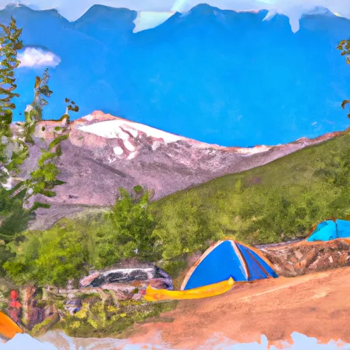 Mount Peale Free Camping
|
||
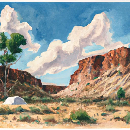 Dakota Crags Camp
|
||
 Oowah
Oowah
|
||
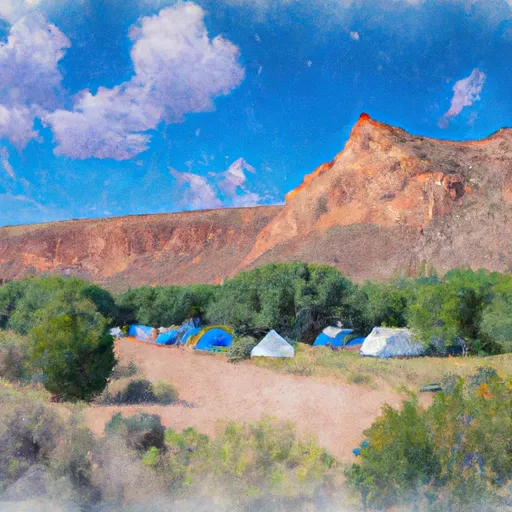 Oowah Campground
|
||
 Pack Creek Group Picnic Site
|
||
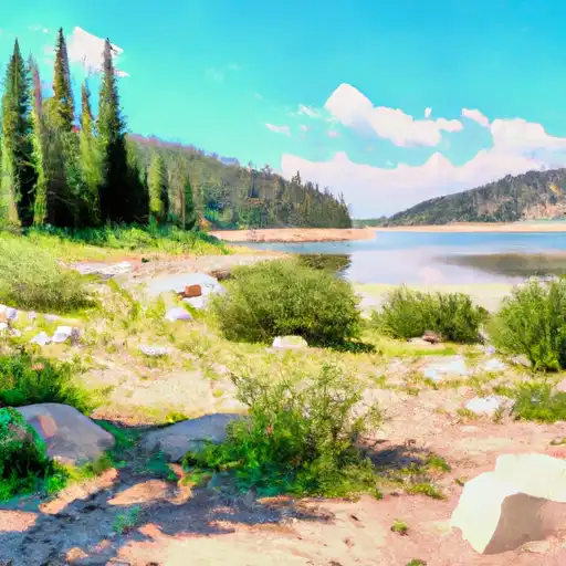 Warner Lake
|

 Blue Lake - La Sals
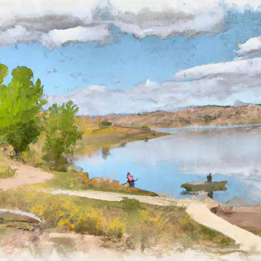 Clark Lake
 Oowah Lake
 Warner Lake
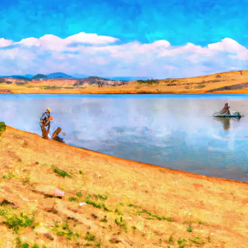 Buckeye Reservoir