Summary
Standing tall at an elevation of 9,838 feet, it offers breathtaking panoramic views of the surrounding landscape. This majestic peak is known for its challenging trails, making it a popular destination for hikers, climbers, and backpackers seeking an exhilarating adventure.
During the winter season, Sacajawea Peak experiences a substantial snowpack, covering its slopes and creating a winter wonderland for snowshoers and backcountry skiers. The snowpack range varies each year, but on average, it can reach depths of several feet, providing ample opportunities for winter recreation. As the temperatures rise in the spring, the melting snow feeds into the nearby creeks and rivers, contributing to their flow and creating a vital source of freshwater for the surrounding ecosystems.
The name Sacajawea holds historical significance and pays homage to the Shoshone woman who played a crucial role in the Lewis and Clark Expedition. Sacajawea acted as an interpreter and guide, helping the expedition navigate the unfamiliar terrain of the American West. The peak was named in her honor, commemorating her contributions to the exploration of the region. Over time, Sacajawea Peak has also become associated with legends and lore, with tales of hidden treasures and mysterious happenings drawing intrigue from locals and visitors alike. While these legends may add an element of excitement to the mountain's allure, it is essential to approach them with skepticism and focus on the mountain's natural beauty and historical significance.
Hourly Weather Forecast
Regional Streamflow Levels
19,200
Cubic Feet Per Second
6
Cubic Feet Per Second
265
Cubic Feet Per Second
217
Cubic Feet Per Second
Area Campgrounds
| Location | Reservations | Toilets |
|---|---|---|
 Campsites
|
||
 Two Pan
|
||
 Two Pan Campground
|
||
 Wallowa Lake State Park
|
||
 Shady
Shady
|
||
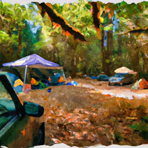 Shady Campground
|
