Summary
With an elevation of approximately [insert elevation], it stands as a prominent peak in the region. This mountain offers breathtaking views, making it a popular destination for mountaineers and outdoor enthusiasts.
During the winter season, McCartney Peak experiences a significant snowpack range, which adds to the challenge and allure for advanced climbers. The snowpack can vary depending on weather conditions, ranging from [insert range] at its peak. This makes it an ideal destination for winter mountaineering and backcountry skiing.
Furthermore, McCartney Peak contributes to the water sources in the surrounding area. Several creeks and rivers receive runoff from the mountain, providing a steady water supply for both wildlife and nearby communities. These water sources contribute to the overall ecosystem and biodiversity of the region.
As for the history and lore, the name McCartney Peak honors a local explorer or early settler named [insert name], who may have been instrumental in the exploration or development of the area. While specific legends or lore may not be widely known about this particular peak, the Pacific Ranges mountain range is rich in indigenous culture and history. Explorers and mountaineers can immerse themselves in the stories and legends of the First Nations people who have inhabited these lands for centuries.
°F
°F
mph
Wind
%
Humidity
15-Day Weather Outlook
5-Day Hourly Forecast Detail
Regional Streamflow Levels
11
Cubic Feet Per Second
308
Cubic Feet Per Second
1,220
Cubic Feet Per Second
424
Cubic Feet Per Second
Area Campgrounds
| Location | Reservations | Toilets |
|---|---|---|
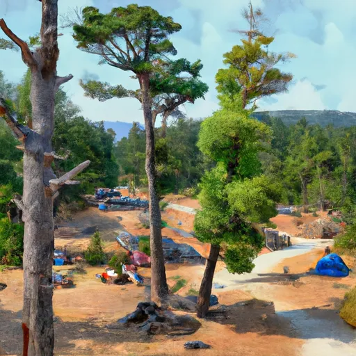 Dodger Point Camp
|
||
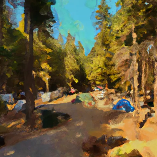 Deer Park Campground
|
||
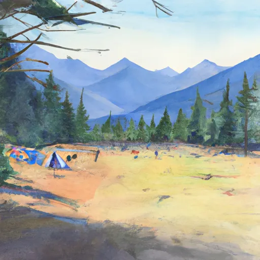 Deer Park - Olympic National Park
|
||
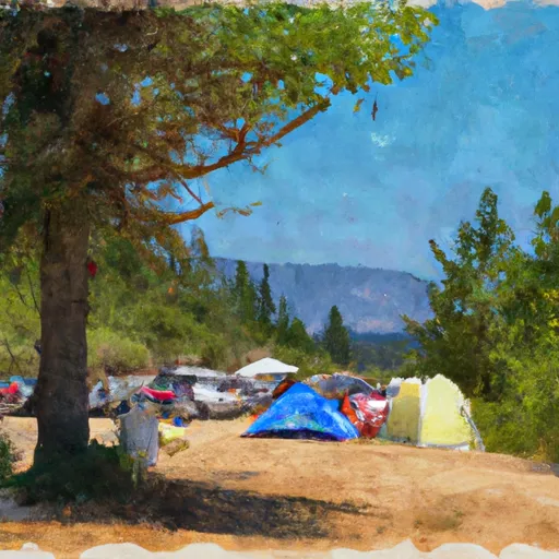 Humes Ranch Campsites
|
||
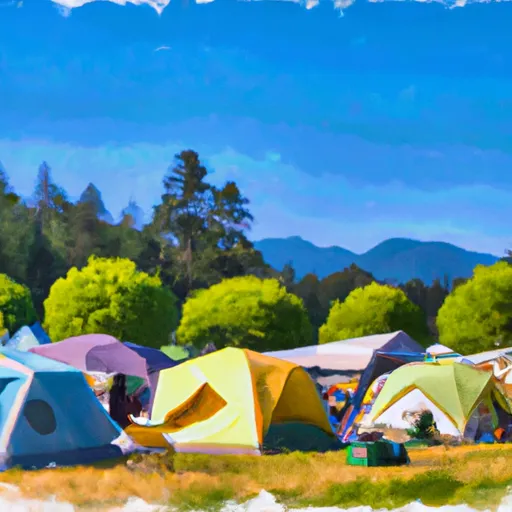 Diamond Meadows
|
||
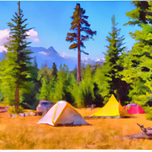 Honeymoon Meadows Camp
|
