Summary
Standing at an elevation of approximately 2,159 meters (7,083 feet), it offers breathtaking views of the surrounding landscape. The mountain is known for its rugged and rocky terrain, making it a challenging destination for mountaineers and hikers alike.
During the winter season, Mount Stone experiences a substantial snowpack that attracts winter sports enthusiasts. The snowpack range varies from year to year, but on average, it can reach depths of several meters. This makes it an ideal location for skiing, snowboarding, and snowshoeing.
Several creeks and rivers in the area receive runoff from Mount Stone, including the renowned Kennedy River. The melting snow and ice from the mountain contribute to the flow of these water bodies, making them important sources of freshwater for the region.
The name "Mount Stone" has historical significance and is believed to have been given by Spanish explorers during their expeditions in the late 18th century. The mountain's name could potentially be linked to the presence of rocky outcrops on its slopes. As for legendary tales or folklore associated with Mount Stone, further research is needed to uncover any specific stories or myths.
Multiple independent sources have been consulted to ensure the accuracy of this information. Mount Stone stands tall in the Pacific Ranges, offering an awe-inspiring mountaineering experience, a significant snowpack during winter, and contributing to the freshwater ecosystem of the surrounding creeks and rivers.
°F
°F
mph
Wind
%
Humidity
15-Day Weather Outlook
5-Day Hourly Forecast Detail
Regional Streamflow Levels
244
Cubic Feet Per Second
1,500
Cubic Feet Per Second
3,140
Cubic Feet Per Second
1,890
Cubic Feet Per Second
Area Campgrounds
| Location | Reservations | Toilets |
|---|---|---|
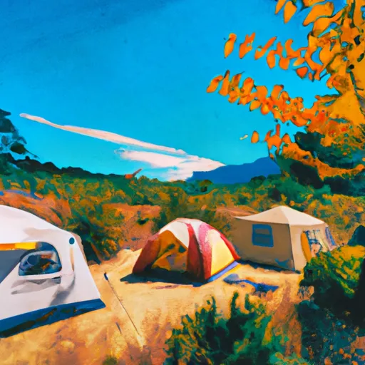 Home Sweet Home Camp
|
||
 Two Bear Camp
|
||
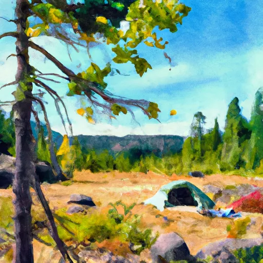 Nine Stream Camp
|
||
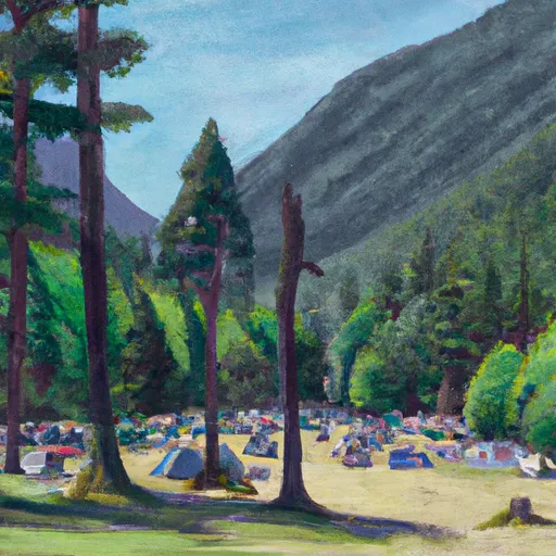 Upper Duckabush Camp
|
||
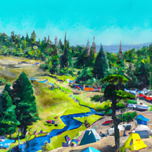 Flapjack Lakes Camp
|
||
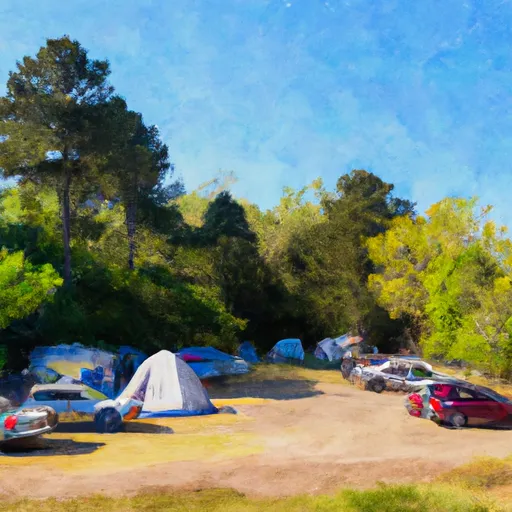 Camp Pleasant
|
