2026-02-23T13:00:00-08:00
* WHAT...Snow expected. Total snow accumulations between 2 and 8 inches, including a 40 to 60% chance of 1 inch per hour snowfall rates. * WHERE...Holden Village, Stehekin, and Stevens Pass. * WHEN...From 10 PM this evening to 1 PM PST Monday. * IMPACTS...Winter travel conditions expected, including the Monday morning commute. * ADDITIONAL DETAILS...The highest probabilities for snowfall rates of 1"/hour will be from 2AM and 9AM Monday.
Summary
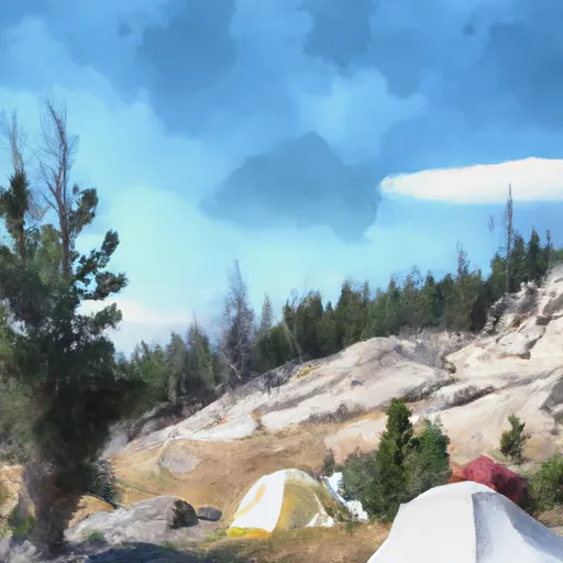
With an elevation of 9,114 feet (2,778 meters), it stands as one of the significant summits in the region. This majestic mountain offers a challenging and rewarding mountaineering experience for adventurers seeking to conquer its heights.
During the winter season, Buckner Mountain receives heavy snowfall, resulting in a substantial snowpack range. The snowpack can vary depending on weather conditions, but it typically accumulates from November to April, with depths reaching several feet. This makes the mountain a popular destination for backcountry skiers and snowboarders, who are drawn to its pristine slopes and powder-filled bowls.
Buckner Mountain's snowmelt feeds into several creeks and rivers in the surrounding area. One notable example is the Stehekin River, which originates from the melting glaciers and snowfields on the mountain's slopes. This river provides vital freshwater resources to the local ecosystems and supports a diverse array of flora and fauna.
The name "Buckner" for this mountain has an interesting history. It pays homage to a figure from early American history, General Simon Bolivar Buckner Sr. He was a prominent military leader and politician, known for his role in the American Civil War and later as the Governor of Kentucky. The name was officially bestowed upon the peak in the early 20th century to honor General Buckner's legacy.
In conclusion, Buckner Mountain in the Pacific Ranges mountain range is a captivating and challenging destination for mountaineers. With its impressive elevation, substantial snowpack range, and contribution to the local hydrology, it offers a unique experience for outdoor enthusiasts. The mountain's name adds a touch of historical significance, connecting it to a renowned figure from American history.
°F
°F
mph
Wind
%
Humidity
15-Day Weather Outlook
5-Day Hourly Forecast Detail
Regional Streamflow Levels
71
Cubic Feet Per Second
58
Cubic Feet Per Second
11
Cubic Feet Per Second
167
Cubic Feet Per Second
Area Campgrounds
| Location | Reservations | Toilets |
|---|---|---|
 Thunder Basin Hiker
|
||
 Thunder Basin Stock
|
||
 Buckner
|
||
 Pelton Basin
|
||
 Skagit Queen
|
||
 Trapper Lake Outlet
|
