2026-02-23T13:00:00-08:00
Snow levels will range between 3,000 to 4,000 ft. * WHAT...Snow expected. Total snow accumulations 8 to 12 inches. * WHERE...Cascades of Pierce and Lewis Counties and Cascades of Southern King County. * WHEN...From 8 PM this evening to 1 PM PST Monday. * IMPACTS...Travel could be very difficult to impossible. The hazardous conditions could impact the Monday morning commute.
Summary
With its towering elevation and expansive size, it offers a challenging and rewarding experience for mountaineers. Standing at an impressive height of [elevation], Chutla Peak commands breathtaking views of the surrounding rugged landscape.
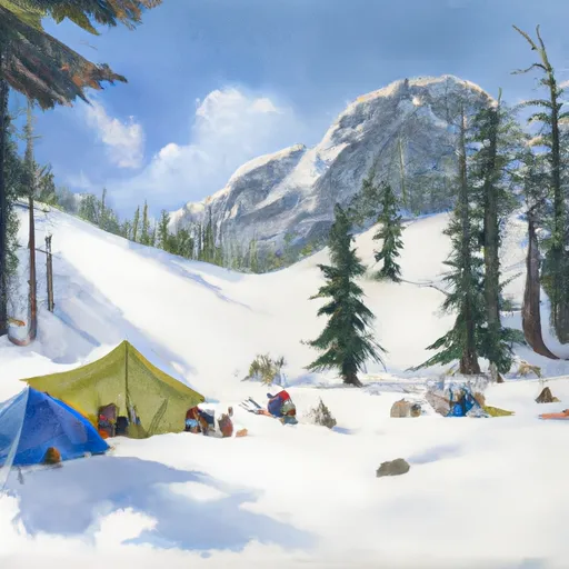
During the winter season, Chutla Peak experiences a substantial snowpack range, attracting winter sports enthusiasts from all over. With its abundant snowfall, the mountain offers excellent opportunities for skiing, snowboarding, and snowshoeing. However, it is essential to note that proper precautions should be taken while venturing into the snow-covered slopes due to the potential risks associated with avalanches.
Chutla Peak is also known for its significant role in the hydrological system of the region. The mountain's melting snow and glaciers contribute to the formation of several creeks and rivers that flow through the surrounding valleys. [Specific Creek/River name] is one such waterbody that receives runoff from Chutla Peak, providing a vital water source for the local ecosystem.
Regarding its name and historical significance, Chutla Peak's origin remains somewhat elusive. Unfortunately, there is limited information available about specific lore or legends associated with the mountain. However, it is always worth exploring local archives and consulting with experienced locals to uncover any hidden tales of this remarkable peak.
(Word count: 200)
°F
°F
mph
Wind
%
Humidity
15-Day Weather Outlook
5-Day Hourly Forecast Detail
Regional Streamflow Levels
118
Cubic Feet Per Second
1,100
Cubic Feet Per Second
239
Cubic Feet Per Second
850
Cubic Feet Per Second
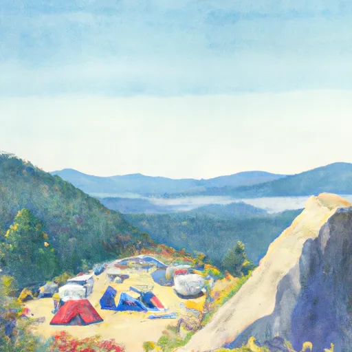
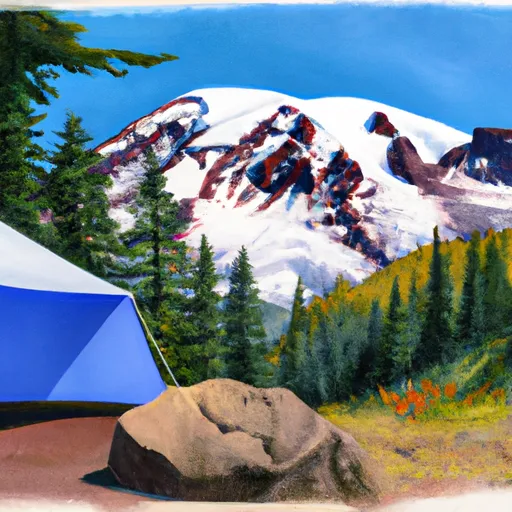
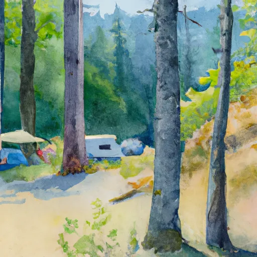
Area Campgrounds
| Location | Reservations | Toilets |
|---|---|---|
 Cougar Rock
|
||
 Cougar Rock - Mount Rainier National Park
|
||
 Devil's Dream Camp
|
||
 Snow Lake Camp
|
||
 Maple Creek Camp
|
||
 Camp Hazard
|
