2026-02-23T13:00:00-08:00
Snow levels will range between 3,000 to 4,000 ft. * WHAT...Snow expected. Total snow accumulations 8 to 12 inches. * WHERE...Cascades of Snohomish and Northern King Counties and Cascades of Whatcom and Skagit Counties. * WHEN...From 8 PM this evening to 1 PM PST Monday. * IMPACTS...Travel could be very difficult to impossible. The hazardous conditions could impact the Monday morning commute.
Summary
Standing at an elevation of 5,724 feet (1,745 meters), it offers breathtaking views and attracts mountaineers and hikers alike. This mountain is known for its rugged terrain, with steep slopes and rocky ridges that challenge even experienced climbers.
During the winter season, Dickerman Mountain boasts a significant snowpack range, transforming it into a haven for winter sports enthusiasts. The snowpack can reach several feet in depth, providing opportunities for snowshoeing, skiing, and snowboarding. It is important to note that mountaineers should be well-prepared and have the necessary equipment, as winter conditions can be treacherous.
Dickerman Mountain is also notable for its contribution to the local hydrology. Several creeks and rivers receive runoff from the mountain, including the South Fork Stillaguamish River, which is fed by the Dickerman Glacier. This glacier, although relatively small, greatly contributes to the water supply of surrounding areas. The presence of these water sources adds to the natural beauty and ecological importance of the region.
As for the history and lore surrounding the mountain's name, Dickerman Mountain is believed to be named after a local settler, possibly a homesteader or explorer, who had a significant impact on the area. The exact origin and details are less known, as the name's history is not extensively documented. Nevertheless, the mountain serves as a reminder of the adventurous spirit and exploration that shaped the Pacific Ranges.
°F
°F
mph
Wind
%
Humidity
15-Day Weather Outlook
5-Day Hourly Forecast Detail
Regional Streamflow Levels
45
Cubic Feet Per Second
2
Cubic Feet Per Second
410
Cubic Feet Per Second
394
Cubic Feet Per Second
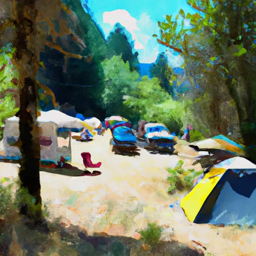
Area Campgrounds
| Location | Reservations | Toilets |
|---|---|---|
 Beaver Creek Group Campground
|
||
 Coal Creek Group Campground
|
||
 Bedal
Bedal
|
||
 Bedal Campground
|
||
 Twin Bridge Campground
|
||
 Peek-a-boo Lake Campsites
|
