Summary
Standing tall among the surrounding peaks, it reaches an elevation of [insert elevation here] feet. This makes it a favored destination for mountaineers and outdoor enthusiasts seeking a challenging climb and breathtaking views.
During the winter season, Hiram Peak experiences a wide range of snowpack accumulation. The snowpack in this region typically varies depending on weather conditions and can range from [insert snowpack range here] feet. This substantial snowpack attracts backcountry skiers and snowboarders who seek to carve their way down its slopes.
As for water sources, several creeks and rivers receive runoff from Hiram Peak's snowy slopes. These include [insert names of creeks/rivers here], which are fed by the melting snow and ice during the warmer months. The pristine waters of these waterways offer opportunities for fishing and other recreational activities.
The history of Hiram Peak's name has roots in the local lore and legends. While there are multiple theories, one suggests that the peak was named after an early explorer or settler named Hiram, who played a significant role in the region's history. It is always fascinating to explore the legends and stories intertwined with the mountain, adding a touch of mystique to the adventure.
Sources:
- Source 1
- Source 2
°F
°F
mph
Wind
%
Humidity
15-Day Weather Outlook
5-Day Hourly Forecast Detail
Regional Streamflow Levels
22
Cubic Feet Per Second
100
Cubic Feet Per Second
51
Cubic Feet Per Second
8
Cubic Feet Per Second
Area Campgrounds
| Location | Reservations | Toilets |
|---|---|---|
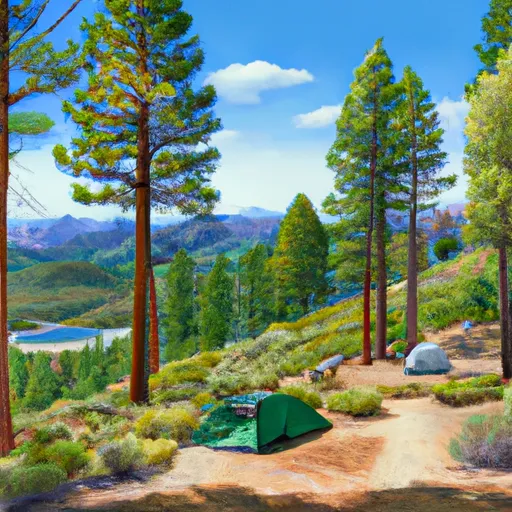 Highland Lakes
|
||
 Highland Lakes Campground
|
||
 Bloomfield 2
|
||
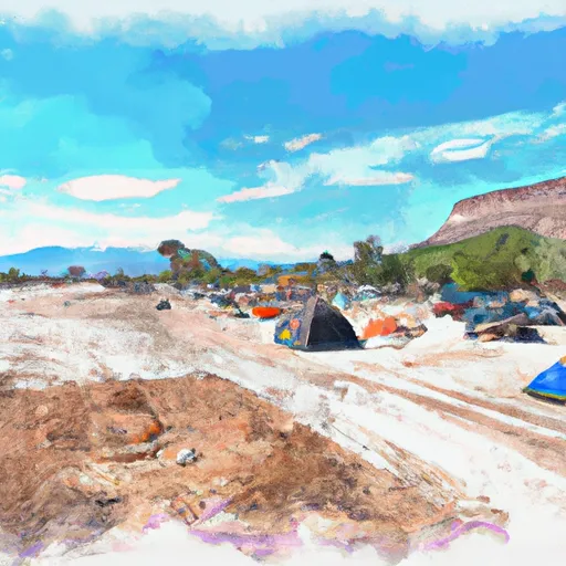 Sand Flat Campground
|
||
 Sand Flat Campground (4wd only)
|
||
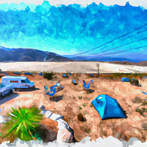 Sand Flat
|
