2026-02-23T13:00:00-08:00
* WHAT...Snow expected. Total snow accumulations between 2 and 8 inches, including a 40 to 60% chance of 1 inch per hour snowfall rates. * WHERE...Holden Village, Stehekin, and Stevens Pass. * WHEN...From 10 PM this evening to 1 PM PST Monday. * IMPACTS...Winter travel conditions expected, including the Monday morning commute. * ADDITIONAL DETAILS...The highest probabilities for snowfall rates of 1"/hour will be from 2AM and 9AM Monday.
Summary
With its towering elevation, Lichtenberg stands as an impressive mountain, reaching a height of approximately 2,303 meters (7,556 feet). The mountain is part of the larger Cascade Range and is a popular destination for mountaineers and outdoor enthusiasts.
During the winter season, Lichtenberg Mountain receives substantial snowfall, contributing to a significant snowpack range. This makes it an attractive spot for winter activities such as skiing, snowboarding, and snowshoeing. The mountain's snowpack can vary depending on the year and weather conditions, but it generally offers ample opportunities for winter adventures.
Lichtenberg Mountain is surrounded by picturesque landscapes, and its runoff contributes to the flow of several creeks and rivers in the region. These include the nearby Lichtenwasser Creek, which derives its name from the mountain. The creek, fed by the melting snow and glaciers of Lichtenberg, meanders through the stunning wilderness, adding to the natural beauty of the area.
As for the history of the name, Lichtenberg Mountain is named after the German naturalist, geologist, and poet, Georg Christoph Lichtenberg. Born in the 18th century, Lichtenberg was known for his keen observations of nature and his witty aphorisms. The mountain was named in honor of his contributions to the field of science and literature.
Lichtenberg Mountain, with its majestic stature, winter allure, and connection to local waterways, is a remarkable destination for mountaineering enthusiasts, offering a blend of natural beauty and historical significance.
°F
°F
mph
Wind
%
Humidity
15-Day Weather Outlook
5-Day Hourly Forecast Detail
Regional Streamflow Levels
57
Cubic Feet Per Second
120
Cubic Feet Per Second
149
Cubic Feet Per Second
132
Cubic Feet Per Second
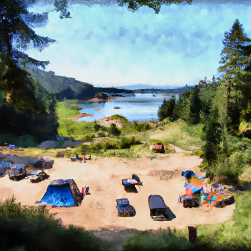
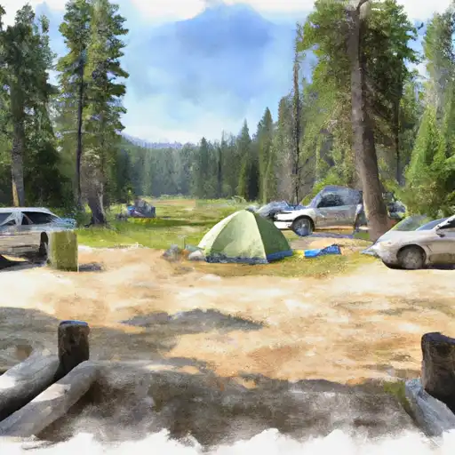
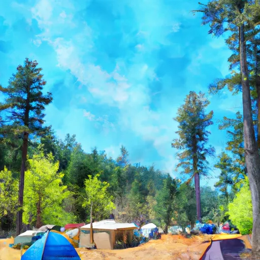
Area Campgrounds
| Location | Reservations | Toilets |
|---|---|---|
 Lake Creek Campground - Little Wenatchee River
|
||
 Lake Creek - Law
|
||
 Rainy Creek Campground
|
||
 Soda Springs - Law
|
||
 White Pine
|
||
 White Pine Campground
|
