Summary
Sitting at an elevation of approximately 7,600 feet, this mountain offers breathtaking views of the surrounding wilderness. The peak is characterized by its distinctive bald summit, which provides a unique landscape compared to the nearby forested peaks.
During the winter season, Little Baldy receives a substantial amount of snowfall due to its high elevation. Snowpack measurements typically range from 5 to 10 feet, creating ideal conditions for winter sports enthusiasts such as snowshoers and backcountry skiers. Additionally, the mountain's snowpack plays a crucial role in providing runoff to the nearby creeks and rivers during the warmer months.
One notable creek that benefits from the runoff of Little Baldy is Crystal Creek. This pristine waterway flows through the mountainous terrain, offering a refreshing spot for hikers and wildlife alike. The creek is known for its crystal-clear waters, which are a result of the snowmelt and the untouched nature of the surrounding area.
The name "Little Baldy" originates from the mountain's bare and exposed summit. It is believed that early explorers and settlers gave the mountain this name due to its resemblance to larger, bald peaks in the region. While there are no specific legends or lore associated with Little Baldy, its unique features and stunning vistas make it a popular destination for outdoor enthusiasts seeking a memorable mountaineering experience.
°F
°F
mph
Wind
%
Humidity
15-Day Weather Outlook
5-Day Hourly Forecast Detail
Regional Streamflow Levels
274
Cubic Feet Per Second
353
Cubic Feet Per Second
416
Cubic Feet Per Second
131
Cubic Feet Per Second
Area Campgrounds
| Location | Reservations | Toilets |
|---|---|---|
 Bretz
Bretz
|
||
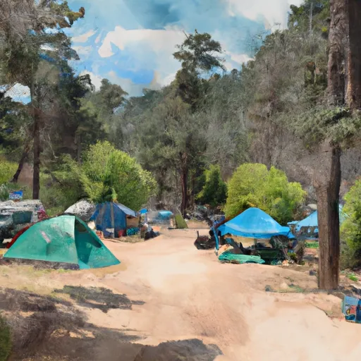 Bretz Mill Campground
|
||
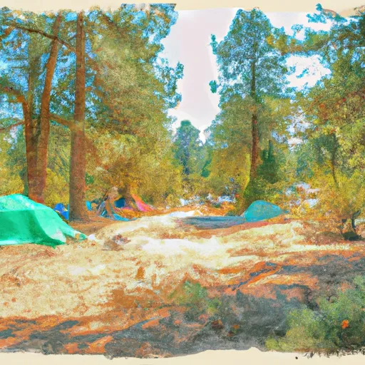 Shaver free campsite
|
||
 Swanson
|
||
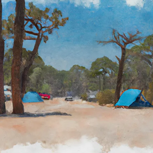 Swanson Campground
|
||
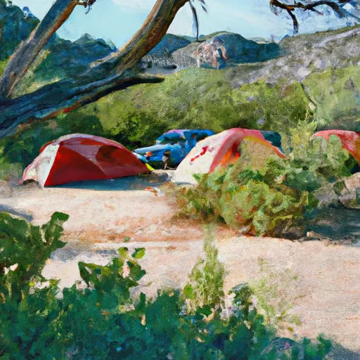 Dorabelle Campground
|
