Summary
With an elevation of 14,088 feet (4,294 meters), it is an impressive summit attracting mountaineers and hikers seeking a challenging ascent. The mountain offers breathtaking views of the surrounding peaks and valleys, making it a popular destination for outdoor enthusiasts.
During the winter season, Mount Russell experiences significant snowfall due to its high elevation. The snowpack range varies each year, but it typically accumulates several feet deep, creating ideal conditions for winter sports such as skiing and snowboarding. Snow enthusiasts can enjoy the breathtaking slopes and thrilling descents that Mount Russell has to offer.
Several creeks and rivers in the region benefit from the runoff that originates from Mount Russell. These water sources include Lone Pine Creek, which flows down the eastern slopes of the mountain, and Tuttle Creek, which is situated to the west. These waterways play a crucial role in supplying water to the surrounding ecosystems and communities downstream.
The mountain's name, Mount Russell, honors Israel Russell, an American geologist who made significant contributions to the understanding of the Sierra Nevada's geology. As for legends or lore associated with Mount Russell, there are no specific stories or myths widely known about this particular peak. However, the mountain is part of the majestic Sierra Nevada, a range rich in Native American folklore and tales of early explorers and settlers in the region.
°F
°F
mph
Wind
%
Humidity
15-Day Weather Outlook
5-Day Hourly Forecast Detail
Regional Streamflow Levels
60
Cubic Feet Per Second
20
Cubic Feet Per Second
7
Cubic Feet Per Second
34
Cubic Feet Per Second
Area Campgrounds
| Location | Reservations | Toilets |
|---|---|---|
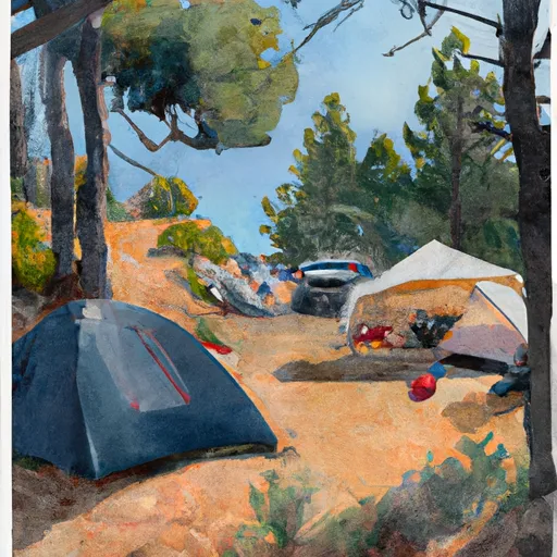 Trail Camp
|
||
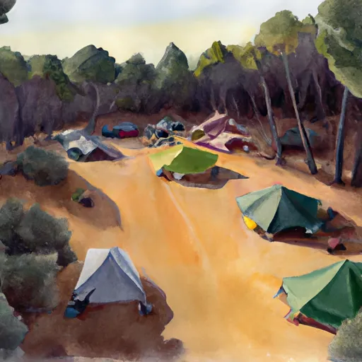 Dazzle campsite (5-7 tents)
|
||
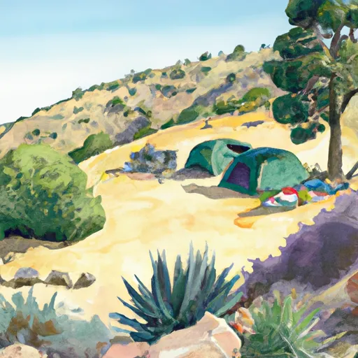 Zigzag campsite (1 tent)
|
||
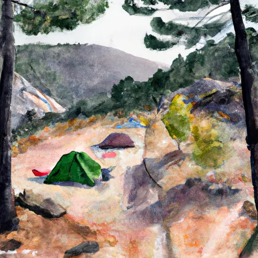 Outpost Camp
|
||
 Mt. Whitney Trailhead Campground
|
||
 Ravine Campground
|

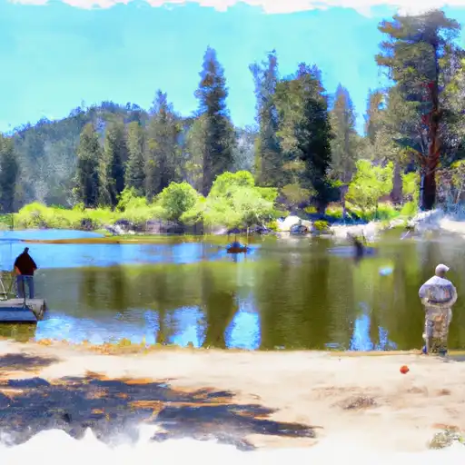 Lower Boy Scout Lake
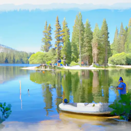 Mirror Lake
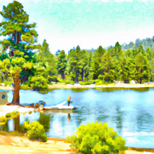 Consultation Lake
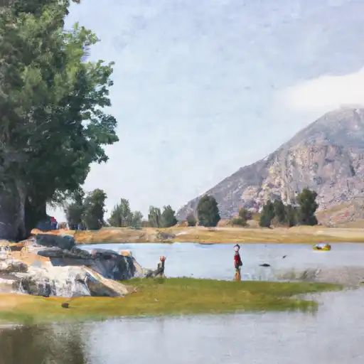 Lone Pine Lake
 North Fork Lone Pine Creek