2026-02-23T13:00:00-08:00
Snow levels will range between 3,000 to 4,000 ft. * WHAT...Snow expected. Total snow accumulations 8 to 12 inches. * WHERE...Cascades of Snohomish and Northern King Counties and Cascades of Whatcom and Skagit Counties. * WHEN...From 8 PM this evening to 1 PM PST Monday. * IMPACTS...Travel could be very difficult to impossible. The hazardous conditions could impact the Monday morning commute.
Summary
Standing at an elevation of 7,743 feet (2,360 meters), it is a challenging climb that attracts experienced mountaineers. The mountain's size is impressive, with a summit ridge stretching over a mile and a half long.
During the winter season, Mount Triumph receives a substantial snowpack, making it a popular destination for winter sports enthusiasts. The snowpack range can vary depending on the year, but on average, it reaches depths of several feet, providing excellent opportunities for skiing and snowboarding.
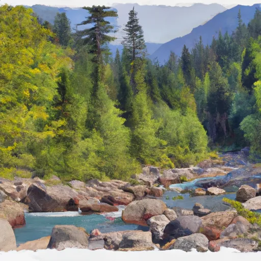
Several creeks and rivers benefit from the runoff of Mount Triumph's melting snow. Notably, the Chilliwack River, a tributary of the Nooksack River, flows from the mountain's southern slopes. This river system attracts anglers who come to fish for salmon and other species.
The name "Mount Triumph" is said to have been given by early climbers who successfully conquered its challenging summit. The mountain's lore and legends are linked to the experiences of these climbers, who faced numerous obstacles during their expeditions. While specific tales may vary, they often emphasize the triumph of human perseverance and determination in the face of adversity.
In summary, Mount Triumph is a formidable peak in the Pacific Ranges mountain range, boasting an elevation of 7,743 feet. It receives a significant snowpack during winter, making it a sought-after destination for winter sports enthusiasts. Its runoff feeds creeks and rivers, including the Chilliwack River. The mountain's name and legends reflect the triumph of early climbers who overcame challenges to reach its summit.
°F
°F
mph
Wind
%
Humidity

 Thornton Lake
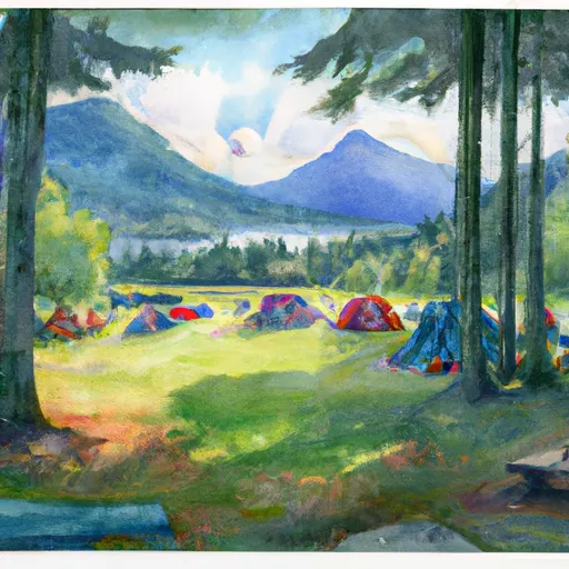
 Upper Goodell Creek Group Campground
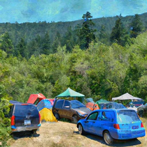
 Lower Goodell Crek Campground
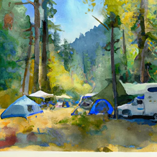
 Lower Goodell Creek Group Campground
 Goodell Creek Campground
 Goodell Creek - North Cascades