Summary
With an elevation of approximately 1,707 meters (5,600 feet), it offers breathtaking views of the surrounding landscape. This mountain is renowned for its challenging terrain, making it a popular destination for mountaineers and outdoor enthusiasts.
During the winter season, Mount Washington receives a substantial amount of snowfall, averaging around 10 meters (33 feet). This abundant snowpack provides excellent opportunities for winter sports such as skiing and snowboarding. The mountain's ski resort offers a variety of trails catering to different skill levels, making it a favorite spot for winter recreation in the region.
Mount Washington has several creeks and rivers that receive runoff from the mountain during the snowmelt season. These waterways, including the Puntledge River and the Tsolum River, play a crucial role in the region's ecosystem, providing habitats for various wildlife species and contributing to the local water supply.
As for the history of the name, Mount Washington was named by the Hudson's Bay Company in the mid-19th century after the first president of the United States, George Washington. The mountain has also been associated with intriguing lore and legends, such as stories of hidden treasures and mysterious occurrences. While these tales add a touch of fascination to the mountain's allure, they are not substantiated by historical records.
In conclusion, Mount Washington in the Pacific Ranges mountain range offers a challenging and picturesque mountaineering experience. With its impressive elevation, abundant snowpack during winter, and contribution to the local waterways, it stands as a significant landmark in British Columbia's outdoor recreation scene.
°F
°F
mph
Wind
%
Humidity
15-Day Weather Outlook
5-Day Hourly Forecast Detail
Regional Streamflow Levels
606
Cubic Feet Per Second
1,890
Cubic Feet Per Second
133
Cubic Feet Per Second
99
Cubic Feet Per Second
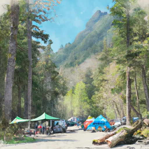
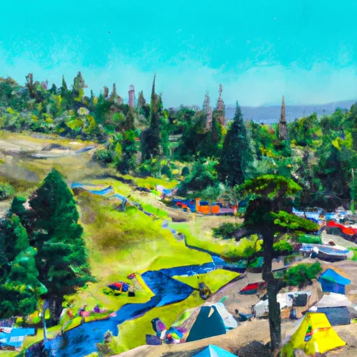
Area Campgrounds
| Location | Reservations | Toilets |
|---|---|---|
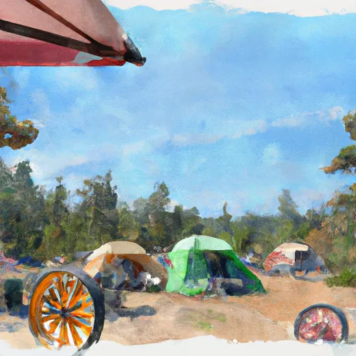
 Wagonwheel Camp
|
||
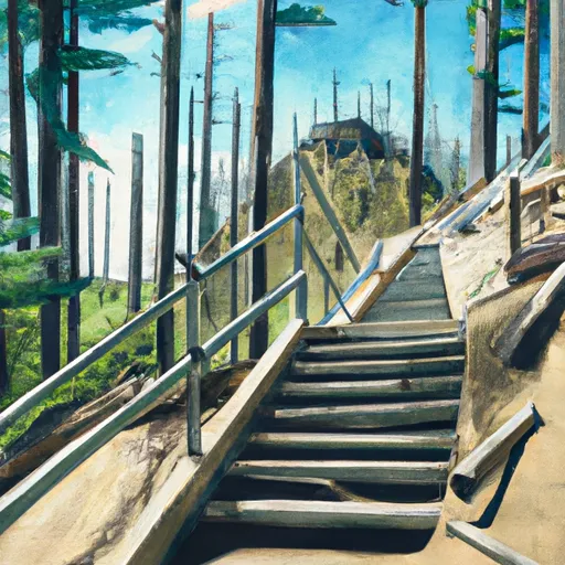
 Staircase - Olympic National Park
|
||
 Staircase
|
||
 Camp Cushman
|
||
 Flapjack Lakes Camp
|
||
 Spike Camp
|
