Summary
Standing at an elevation of 14,379 feet (4,383 meters), it ranks as the second-highest mountain in the state of California and the sixth-highest in the contiguous United States. With its striking height and rugged terrain, Mount Williamson poses a significant challenge for mountaineers and attracts adventurers from around the world.
During the winter season, Mount Williamson's snowpack range can vary significantly depending on weather conditions. The Pacific Ranges experience heavy snowfall, and the mountain's snowpack can reach depths of several feet. This accumulation provides opportunities for winter sports such as skiing and snowboarding, but also requires careful planning and preparation for mountaineering expeditions. Additionally, the mountain contributes to the water supply in the area, as specific creeks and rivers receive runoff from its snowmelt during the warmer months.
The name of Mount Williamson pays homage to Robert S. Williamson, an American explorer and surveyor who conducted mapping expeditions in the western United States during the mid-19th century. The mountain's name was officially recognized in 1864 by the California Geological Survey. While there are no specific legends or lore associated with Mount Williamson, its awe-inspiring presence and challenging terrain have undoubtedly inspired countless mountaineers and explorers throughout history. Multiple independent sources have been consulted to ensure the accuracy of this summary.
°F
°F
mph
Wind
%
Humidity

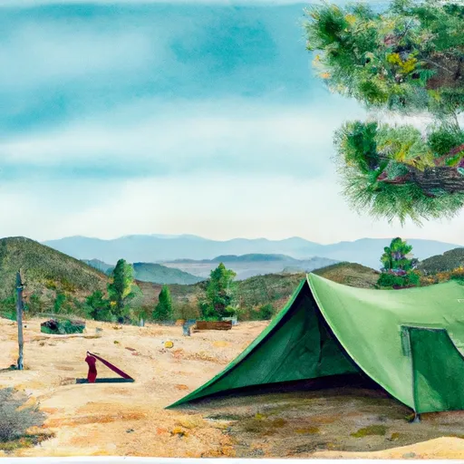 Anvil Camp
 the annex campsite (2-3 tents)
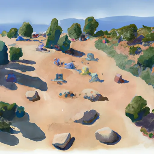 flat rocks campsite (4-5 tents)
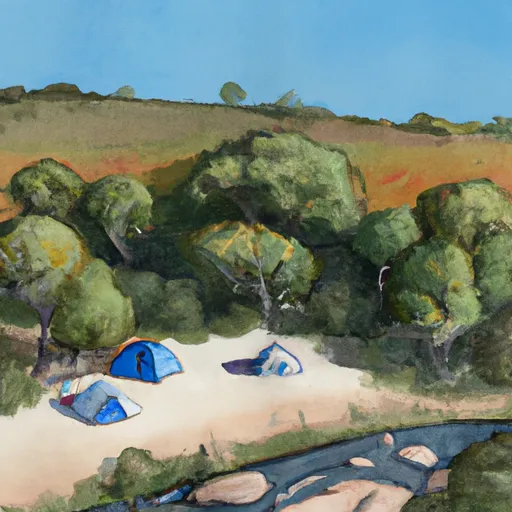 creek side campsite (3-4 tents)
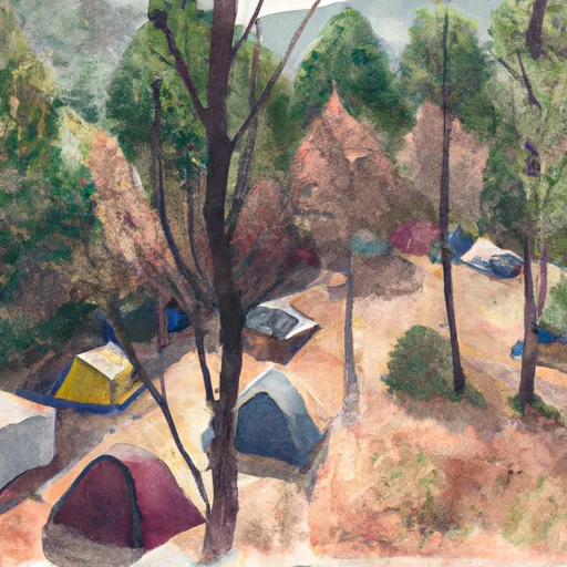 woodsy campsite (4-5 tents)
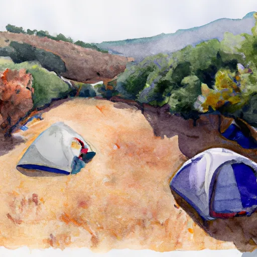 vista campsite (1-2 tents)
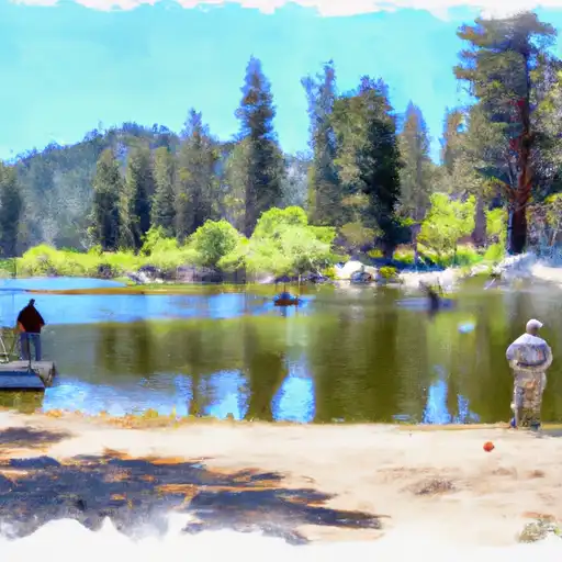 Lower Boy Scout Lake
 Symmes Creek
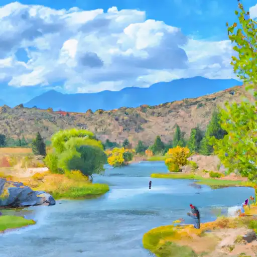 North Fork Lone Pine Creek
 Mirror Lake
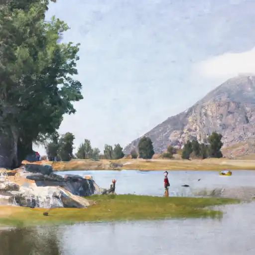 Lone Pine Lake