2026-02-23T13:00:00-08:00
Snow levels will range between 3,000 to 4,000 ft. * WHAT...Snow expected. Total snow accumulations 8 to 12 inches. * WHERE...Cascades of Pierce and Lewis Counties and Cascades of Southern King County. * WHEN...From 8 PM this evening to 1 PM PST Monday. * IMPACTS...Travel could be very difficult to impossible. The hazardous conditions could impact the Monday morning commute.
Summary
Rising to an elevation of approximately 6,350 feet, this rugged peak offers breathtaking panoramic views of the surrounding alpine landscape. Plummer Peak is part of the Tatoosh Range, a subrange of the larger Cascade Range.
During the winter season, Plummer Peak experiences a substantial snowpack, which typically lasts from November to April. The snowpack range varies depending on yearly weather patterns, but it can accumulate several feet of snow, making it a popular destination for winter mountaineering and backcountry skiing enthusiasts. The mountain's steep slopes and challenging terrain attract experienced climbers seeking thrilling ascents and rewarding challenges.
Plummer Peak also contributes to the hydrology of the area. The mountain generates runoff that feeds several creeks and rivers in the region. While specific creeks and rivers that receive the mountain's runoff may vary, it is common for water to flow into the Nisqually River, which eventually joins the larger Puyallup River.
Regarding its name, Plummer Peak honors Charles Plummer, an early pioneer and explorer in the Pacific Northwest. The peak's name was officially recognized by the United States Board on Geographic Names in 1932. Despite its lack of notable lore or legends surrounding it, Plummer Peak remains a beloved destination for outdoor enthusiasts, offering a thrilling mountaineering experience amidst the stunning beauty of the Pacific Ranges.
°F
°F
mph
Wind
%
Humidity
15-Day Weather Outlook
5-Day Hourly Forecast Detail
Regional Streamflow Levels
118
Cubic Feet Per Second
714
Cubic Feet Per Second
1,100
Cubic Feet Per Second
677
Cubic Feet Per Second
Area Campgrounds
| Location | Reservations | Toilets |
|---|---|---|
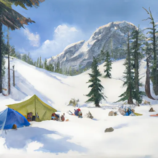
 Snow Lake Camp
|
||
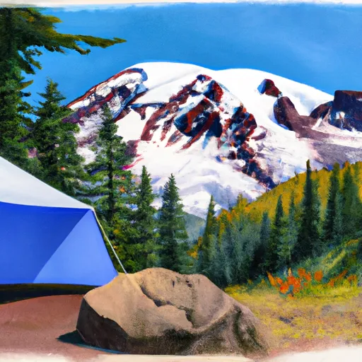
 Cougar Rock
|
||
 Cougar Rock - Mount Rainier National Park
|
||
 Maple Creek Camp
|
||
 Devil's Dream Camp
|
||
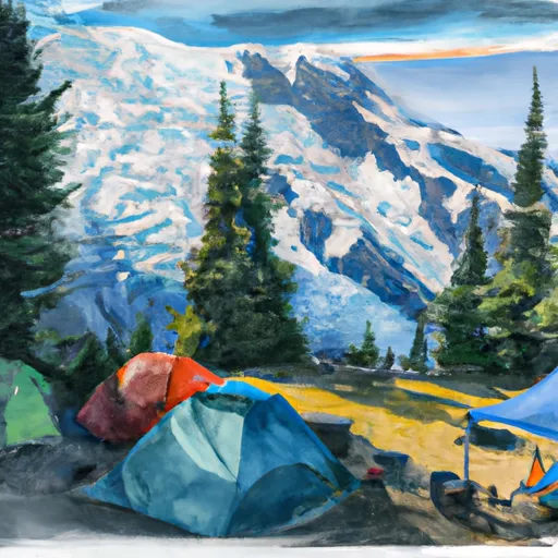
 Camp Muir
|
