Summary
With an elevation of 10,649 feet (3,246 meters), it offers breathtaking views of the surrounding landscapes. The mountain is a popular destination for hikers and mountaineers due to its accessibility and stunning natural beauty.
During the winter season, San Bernardino Peak experiences a varying snowpack range. Snowfall can begin as early as November and last until late spring, with peak snow accumulation occurring in January and February. The amount of snowpack can vary greatly depending on the year and weather conditions. It is important for visitors to check the current snow conditions and be adequately prepared with the appropriate gear and skills for winter mountaineering.
San Bernardino Peak is known for its pristine creeks and rivers that receive runoff from the mountain. Some of the notable waterways include the Santa Ana River, East Fork City Creek, and Coon Creek. These water sources not only provide essential habitat for wildlife but also supply water to nearby communities.
The name of the mountain, San Bernardino Peak, is derived from the nearby city of San Bernardino. The mountain holds historical significance as it was named after the 3rd-century Christian martyr, Saint Bernardino of Siena. Legends and lore associated with the mountain include tales of Native American tribes that considered it a sacred place, and stories of early settlers who were drawn to its majestic presence. These tales add to the rich history and allure of San Bernardino Peak, making it a must-visit destination for adventurers and nature enthusiasts alike.
°F
°F
mph
Wind
%
Humidity
15-Day Weather Outlook
5-Day Hourly Forecast Detail
Regional Streamflow Levels
0
Cubic Feet Per Second
159
Cubic Feet Per Second
81
Cubic Feet Per Second
101
Cubic Feet Per Second
Area Campgrounds
| Location | Reservations | Toilets |
|---|---|---|
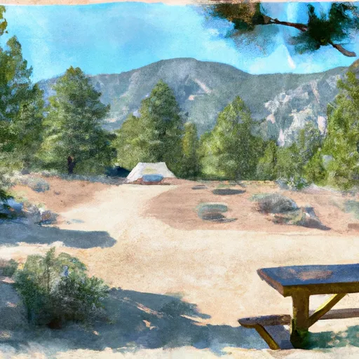 Limber Pine Bench
|
||
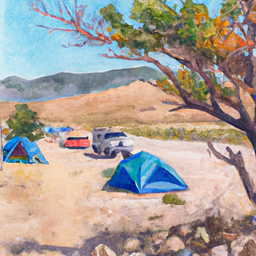 Columbine Springs
|
||
 Trail Fork
|
||
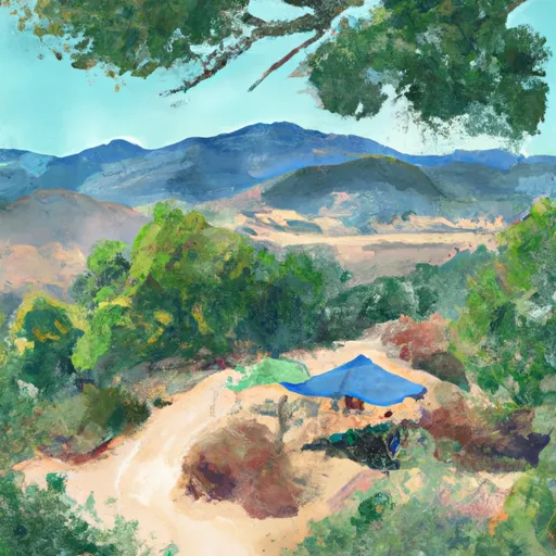 Alger Creek Camp
|
||
 Anderson Flat
|
||
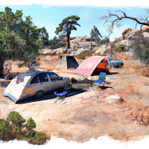 Mountain Home Flat
|

 Santa Ana River
 Santa Ana River - South Fork
 Yucaipa Park Lake
 Big Bear Lake
 Arrowbear Lake