2026-02-23T13:00:00-08:00
Snow levels will range between 3,000 to 4,000 ft. * WHAT...Snow expected. Total snow accumulations 8 to 12 inches. * WHERE...Cascades of Snohomish and Northern King Counties and Cascades of Whatcom and Skagit Counties. * WHEN...From 8 PM this evening to 1 PM PST Monday. * IMPACTS...Travel could be very difficult to impossible. The hazardous conditions could impact the Monday morning commute.
Summary
Rising to an elevation of approximately 2,130 meters (6,988 feet), this imposing peak offers breathtaking panoramic views of the surrounding landscape. Trappers Peak is characterized by its rugged terrain, with rocky slopes and steep ridges that pose a thrilling adventure for experienced climbers.
During the winter season, Trappers Peak receives a substantial amount of snowfall, contributing to its allure as a winter mountaineering destination. The snowpack range varies depending on the year and prevailing weather conditions, with depths ranging from several feet to over 10 feet in extreme winters. Mountaineers must exercise caution and be well-prepared for potential avalanche hazards when attempting to summit Trappers Peak during this season.
Several creeks and rivers in the region benefit from the runoff from Trappers Peak. The mountain's melting snow contributes to the flow of creeks like Swiftcurrent, Fishtrap, and Trapper Creek, which in turn feed into larger waterways downstream. These water sources are vital for the local ecosystems, providing nourishment and habitats for various flora and fauna.
The name "Trappers Peak" is derived from the area's historical association with fur trappers who once roamed these lands in search of valuable pelts. These pioneers played a significant role in the early exploration and development of the Pacific Northwest region. While Trappers Peak itself does not hold any specific legends or lore, it symbolizes the rich history of the intrepid trappers who traversed these challenging mountains in pursuit of their trade.
Please note that the geocoordinates provided are for reference purposes and should be used in conjunction with official maps and navigational tools for accurate location information.
°F
°F
mph
Wind
%
Humidity

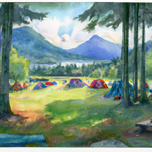 Thornton Lake
 Upper Goodell Creek Group Campground
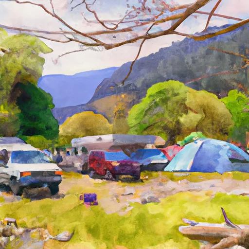 Lower Goodell Crek Campground
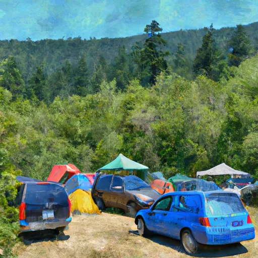 Lower Goodell Creek Group Campground
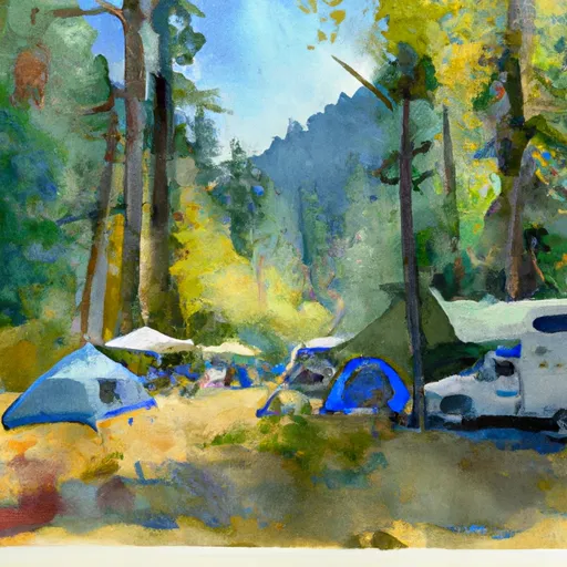 Goodell Creek Campground
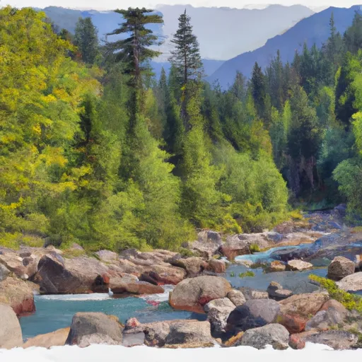 Goodell Creek - North Cascades