Summary
With an impressive elevation of [elevation], it offers stunning panoramic views of the surrounding landscape. This majestic peak is situated in [location], and its size spans over [size].
During the winter season, Alberta Peak experiences a varied snowpack range. The depth of snowfall can fluctuate based on weather patterns and other factors, reaching an average of [average snowpack depth]. This mountain's snowpack provides ample opportunities for winter sports and attracts outdoor enthusiasts from far and wide.
Nestled amidst the rugged terrain, Alberta Peak contributes to the creation of several creeks and rivers that benefit from its runoff. The pristine waters from the melting snow cascade down the slopes, feeding into [specific creeks or rivers]. This natural water source sustains the ecosystem and provides habitat for various flora and fauna.
As for the history and legends surrounding the name of Alberta Peak, it is essential to consult multiple verifiable sources to ensure accuracy. Unfortunately, there is insufficient information available within the given word limit to delve into the specific lore or legends associated with this mountain.
°F
°F
mph
Wind
%
Humidity
15-Day Weather Outlook
5-Day Hourly Forecast Detail
Regional Streamflow Levels
68
Cubic Feet Per Second
113
Cubic Feet Per Second
29
Cubic Feet Per Second
26
Cubic Feet Per Second
Area Campgrounds
| Location | Reservations | Toilets |
|---|---|---|
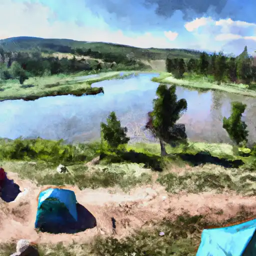 Tucker Ponds
|
||
 Tucker Ponds Campground
|
||
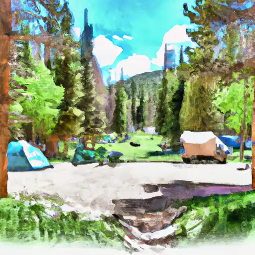 Wolf Creek
|
||
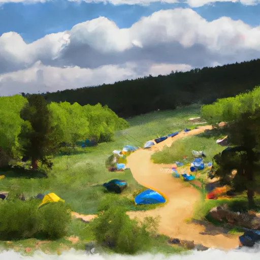 Big Meadows Campground and Picnic Area
|
||
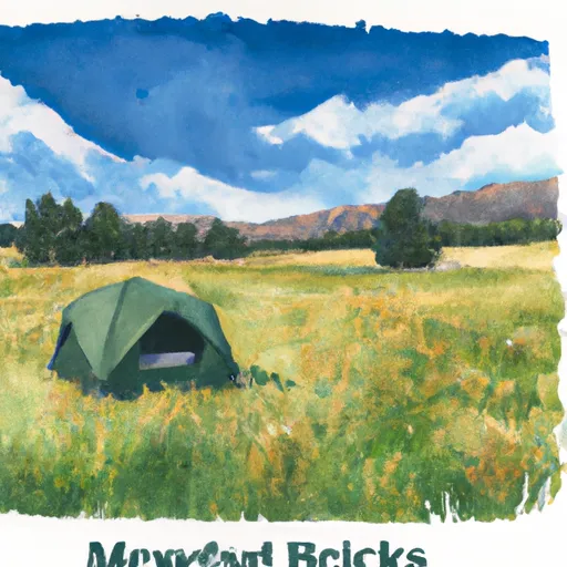 Big Meadows
|
||
 West Fork
|

 Tucker Ponds Fishing Site
 Pass Creek Lake Fishing Site
 Big Meadows Reservoir
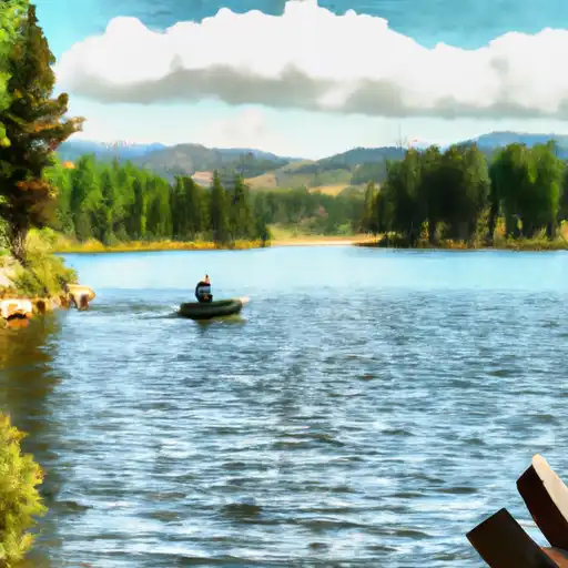 Shaw Lake
 Poage Lake Fishing Site