Summary
Standing at an elevation of 14,137 feet (4,309 meters), it is one of the most challenging and sought-after mountaineering destinations in the state. With its rugged terrain, steep cliffs, and exposed ridges, Capitol Peak offers a thrilling adventure for experienced climbers.
During the winter season, Capitol Peak receives a substantial amount of snowfall, making it a popular destination for backcountry skiing and snowboarding. The snowpack range can vary greatly depending on the year and weather conditions, with depths often exceeding several feet. It is essential for winter climbers to be well-prepared and equipped with proper avalanche safety gear and knowledge.
The mountain is known for its stunning vistas and numerous creeks and rivers that flow from its slopes. Snowmelt and runoff from Capitol Peak contribute to the headwaters of the Roaring Fork River, which is an important water source for communities downstream. This pristine alpine environment is also home to a diverse range of flora and fauna.
Capitol Peak's name is derived from its distinctive summit, which resembles the dome of the United States Capitol building. The mountain has a rich history and is often associated with lore and legends. Local Native American tribes believed the peak held spiritual significance and considered it a sacred place. Over the years, Capitol Peak has become an iconic symbol of the Rocky Mountains and continues to captivate mountaineers with its beauty and challenging ascent.
°F
°F
mph
Wind
%
Humidity
15-Day Weather Outlook
5-Day Hourly Forecast Detail
Regional Streamflow Levels
146
Cubic Feet Per Second
33
Cubic Feet Per Second
324
Cubic Feet Per Second
8
Cubic Feet Per Second
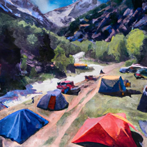
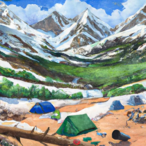
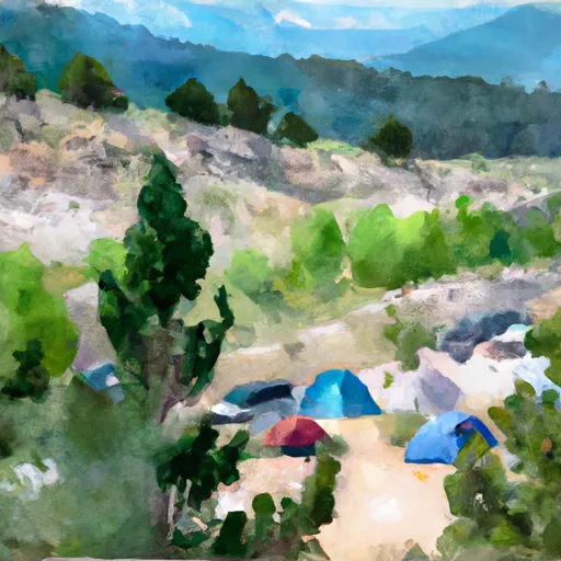
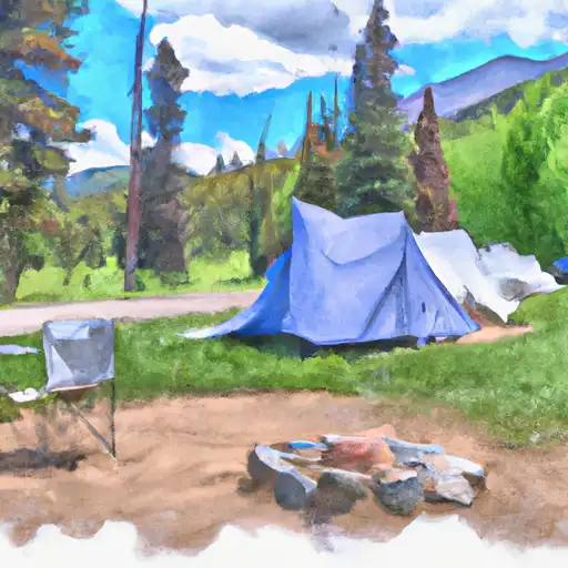
Area Campgrounds
| Location | Reservations | Toilets |
|---|---|---|
 Redstone
|
||
 Redstone Campground
|
||
 Avalanche Campground
|
||
 Avalanche
|
||
 Silver Queen Campground
|
||
 Silver Queen
|
