Redstone
Air Quality: Good
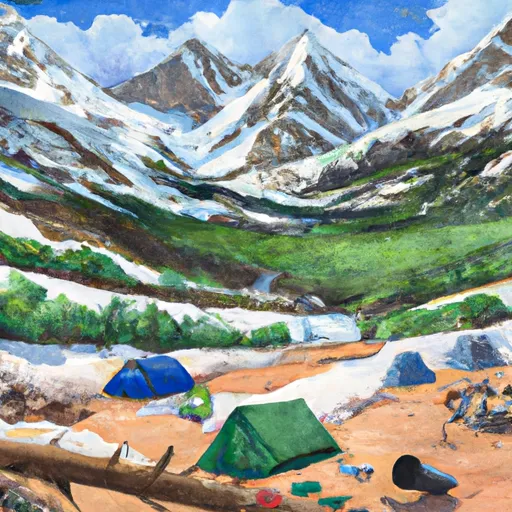
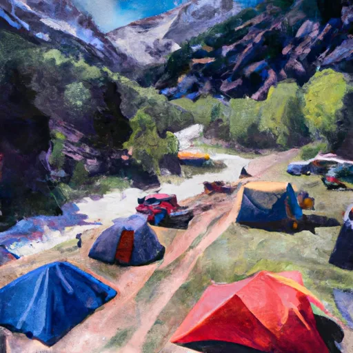
This camping area features
17
reservable
campsites perched at an elevation of
7299ft in the state of Colorado.
If you're headed here today, be sure to check out
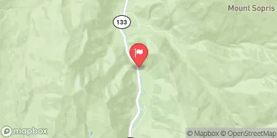
travel times and driving directions
before you go.
Remember to reserve your campsite early.
Reserve your campsite now!
High altitude campgrounds like this one can get very cold at night, even during the warm summer months. Remember to pack accordingly.
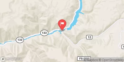
Visitors may find numerous amenities clean showers to rinse off, clean potable drinking water, electric hookups for recreational vehicles (RV's), and a comfy place to pitch a tent. The surrounding area also offers outdoor enthusiasts the simple pleasure of being outside. Check out the map above to view nearby river levels, or head to the interactive map to explore the surrounding area.
And |
Yes |
Dump |
No |
Reservations |
Yes |
Showers |
Yes |
Drinking-Water |
Yes |
Electric-Hookup |
Yes |
Get Unlimited Access with Snoflo Premium
Know before you go with climate maps, insightful analytics, weather forecasts and more!
Weather Forecast
Areas of Interest
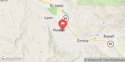
Redstone AreaBikingDirections |
Redstone Area |
Snowmass Skiing Ski AreaWinter SportsDirections |
With a vertical drop of 4,406 feet (boasting the most vertical in the USA) and 3,132 acres of terrain, the sheer volume of Snowmass demands repeat visits. After experiencing a slice of all the cruisers, glades, steeps, terrain parks and halfpipes, we guarantee you’ll be back for more.Vertical rise: 4,406 ft./1,343 mTerrain: 3,132 acres/1,267 hectaresNumber of trails: 91Miles/km of trails: 147 miles/237 kmLongest run: 5.3 miles/8.5 kmTypes of trails: easiest: 6%, more difficult: 50%, most difficult: 12%, expert: 32%Parks and pipes: 3 terrain parks (Snowmass Park, Makaha and Lowdown), 1 superpipe (new this year, 22 feet high!) and 1 beginner pipeLifts: 21 Total: 19 primary: 1 eight-passenger gondola, 1 high-speed six-passenger lift, 1 six-passenger pulse gondola, 7 high-speed quads, 2 quads, 4 ski/snowboard school lifts (including magic carpets); 2 secondary: 2 platter pullsLift hours: The Sky Cab opens at 8 a.m.; the Cirque lift opens at 10 a.m.; the Village Express and Big Burn lifts open at 8:30 a.m.; all other lifts open at 9 a.m. Most lifts close at 3:30 p.m., weather permitting.Rental/Retail: Four-Mountain Sports/D&E Ski and Snowboard Shop on the Snowmass Village Mall, Four-Mountain Sports at Two Creeks, Beginner's Magic at base village and Four-Mountain Kids at The Treehouse Kids' Adventure CenterOn-Mountain Restaurants: 9 total: Sneaky's Tavern, Sam's Smokehouse, Up 4 Pizza, Two Creeks Mexican Cafe, Lynn Britt Cabin (lunches and snowcat dinner rides), Burlingame Cabin (snowcat dinner rides, Ullrhof, Gwyn's High Alpine and Cafe Suzanne |
Emerald Lake Day Use AreaPicnickingDirections |
Emerald Lake Day Use Area is a high elevation picnic area in a picturesque basin providing a quiet restful summer experience. |
Dark Canyon TrailheadHikingDirections |
The Dark Canyon Trailhead is located in the Erickson Springs Recreation Area, adjacent to Erickson Springs Campground. This trailhead accesses Dark Canyon Trail #830which entersRaggeds Wilderness. Thetrailhead has hitching racks, hay feeders and a restroom. A restroom located near the parking lot. |
Popular Destinations
Campground | Campsites | Reservations | Toilets | Showers | Elevation |
---|---|---|---|---|---|
Coffee Pot Spring | 10 | 10,084 ft | |||
Avalanche | 13 | 7,320 ft | |||
Paonia State Park | 13 | 6,467 ft | |||
Erickson Springs | 18 | 6,830 ft | |||
Lake Irwin | 32 | 10,400 ft | |||
Redstone | 17 | 7,299 ft | |||
Bogan Flats | 36 | 7,609 ft | |||
Lost Lake | 19 | 9,621 ft | |||
McClure | 8 | 8,187 ft |
Ski Area | Snowpack | Air Temperature | 5 Day Forecast |
---|---|---|---|
Snowmass | 74" | 18° | 3.5" |
Sunlight Mountain Resort | 82" | 24° | 8.67" |
Crested Butte Mountain Resort | 77" | 18° | 4.82" |
Location | Fish Habitat | Craft Restrictions |
---|---|---|
Yamcolo Reservoir | Brook Trout, Brown Trout, Rainbow Trout | Electric Motors Only |
Crosho Lake | Arctic Grayling, Colorado River Cutthroat | Non Motorized Only |
Paonia Reservoir | Brook Trout, Rainbow Trout | None |
Trappers Lake | Cutthroat Trout | |
Lake Irwin | None | |
Blue Mesa Reservoir | Brook Trout, Brown Trout, Kokanee | Non Motorized Hand-Launch |
Meridian Lake | Rainbow Trout | All Boats Allowed |
Fryingpan River | ||
Emerald Lake (Crested Butte) | All Boats Allowed | |
Lake Of The Woods | ||
Christine Lake | ||
Beaver Lake Swa (Marble) | Rainbow Trout | Non Motorized Only |
Morrow Point Reservoir | Kokanee | Non Motorized Only |
Tomichi Creek | Cutthroat Trout, Rainbow Trout |
Nearby Snowpack and Streamflow Levels
Streamflow and snowpack data for the watershed
Gauge | Streamflow | Stage |
---|---|---|
Lake Creek Near Edwards
USGS 09067200 |
5 cfs | 0.1 ft |
East River At Almont Co.
USGS 09112500 |
95 cfs | 2.6 ft |
Surface Creek Near Cedaredge
USGS 09143000 |
9 cfs | 2.3 ft |
Taylor River Below Taylor Park Reservoir
USGS 09109000 |
86 cfs | 3.4 ft |
Hubbard Creek At Highway 133 At Mouth Nr Bowie
USGS 09132960 |
3 cfs | 0.2 ft |
Smith Fork Near Lazear
USGS 09129600 |
0 cfs | 2.7 ft |
N.F. Gunnison R Blw Leroux Cr
USGS 09135950 |
253 cfs | 8.4 ft |
North Fork Gunnison River Below Paonia
USGS 09134100 |
82 cfs | 1.0 ft |
White River Near Meeker
USGS 09304500 |
273 cfs | 2.5 ft |
Fryingpan River At Meredith
USGS 09080100 |
195 cfs | 2.6 ft |
Snotel Site | Snowpack | 24hr Change |
---|---|---|
Stump Lakes
SNOTEL 797 |
95" | -3" |
North Lost Trail
SNOTEL 669 |
91" | -4" |
Weminuche Creek
SNOTEL 1160 |
96" | 1" |
Crosho
SNOTEL 426 |
60" | -1" |
Burro Mountain
SNOTEL 378 |
68" | 0" |
Buffalo Park
SNOTEL 913 |
59" | 0" |
Zirkel
SNOTEL 1033 |
91" | -2" |
Mc Clure Pass
SNOTEL 618 |
82" | -2" |
Red Mountain Pass
SNOTEL 713 |
98" | -3" |
Bear River
SNOTEL 1061 |
47" | -1" |
Schofield Pass
SNOTEL 737 |
141" | -5" |
Cascade #2
SNOTEL 387 |
62" | -3" |
Mineral Creek
SNOTEL 629 |
64" | -1" |
Upper San Juan
SNOTEL 840 |
133" | -1" |
Lynx Pass
SNOTEL 607 |
49" | 0" |
Elk River
SNOTEL 467 |
82" | -1" |
Slumgullion
SNOTEL 762 |
56" | 0" |
Overland Res.
SNOTEL 675 |
86" | -1" |
Upper Taylor
SNOTEL 1141 |
74" | -1" |
Beartown
SNOTEL 327 |
96" | -3" |
Idarado
SNOTEL 538 |
64" | -3" |
Middle Creek
SNOTEL 624 |
78" | -2" |
Tower
SNOTEL 825 |
147" | 0" |
hayden coop
SNOTEL HAYC2 |
41" | 1" |
Spud Mountain
SNOTEL 780 |
129" | -4" |
Bison Lake
SNOTEL 345 |
118" | -2" |
Rabbit Ears
SNOTEL 709 |
88" | 2" |
Chapman Tunnel
SNOTEL 1101 |
57" | -1" |
Trapper Lake
SNOTEL 827 |
39" | 1" |
Vallecito
SNOTEL 843 |
94" | -2" |
Wolf Creek Summit
SNOTEL 874 |
141" | -2" |
Kiln
SNOTEL 556 |
52" | -1" |
Independence Pass
SNOTEL 542 |
62" | -1" |
Dry Lake
SNOTEL 457 |
90" | -1" |
Molas Lake
SNOTEL 632 |
91" | -2" |
Wager Gulch
SNOTEL 1188 |
42" | -2" |
Cochetopa Pass
SNOTEL 1059 |
25" | -1" |
Ripple Creek
SNOTEL 717 |
112" | -3" |
Upper Rio Grande
SNOTEL 839 |
37" | 0" |