Summary
With an elevation of [elevation], it stands as an impressive landmark in the region. This majestic peak offers a challenging and rewarding mountaineering experience to adventurers.
During the winter season, Chimayosos Peak receives substantial snowfall, creating a diverse snowpack range for winter sports enthusiasts. The snowpack can vary depending on the year and weather conditions, ranging from light powder to heavy, compacted snow. This provides an excellent opportunity for activities such as backcountry skiing, snowboarding, and snowshoeing.
The mountain's runoff feeds into several creeks and rivers in the surrounding area, including [specific creeks/rivers]. This runoff plays a crucial role in maintaining the local ecosystem and contributes to the water supply for nearby communities.
In terms of history and lore, Chimayosos Peak has a fascinating background. [Discuss historical name origins or legends]. These stories add an intriguing element to the mountain, captivating the imagination of those who visit or hear about it.
To ensure the accuracy of this information, multiple independent sources should be consulted, such as reputable mountaineering guidebooks, local government websites, and topographic maps.
°F
°F
mph
Wind
%
Humidity
15-Day Weather Outlook
5-Day Hourly Forecast Detail
Regional Streamflow Levels
92
Cubic Feet Per Second
6
Cubic Feet Per Second
12
Cubic Feet Per Second
263
Cubic Feet Per Second
Area Campgrounds
| Location | Reservations | Toilets |
|---|---|---|
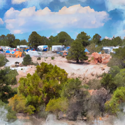 Trampas Campground
|
||
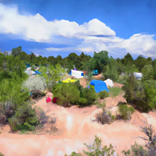 Trampas Medio Campground
|
||
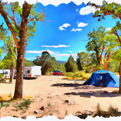 Santa Barbara
|
||
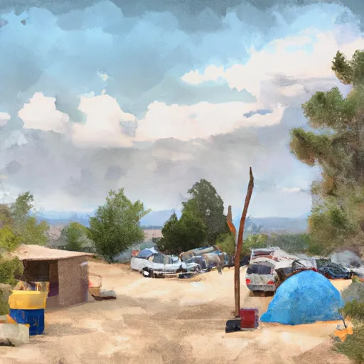 Santa Barbara Campground
|
||
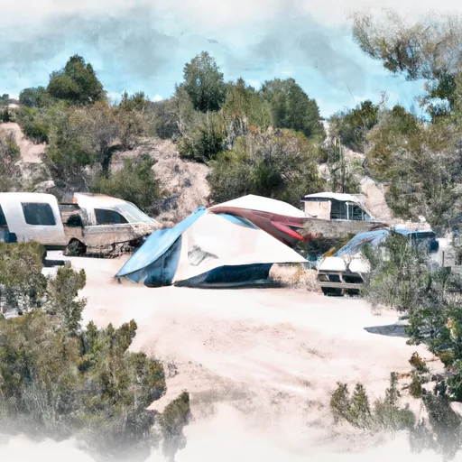 Trampas Diamante Campground
|
||
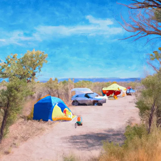 Borrego Mesa Campground
|

 Rio Trampas Fishing
 Cowles Ponds Fishing Site
 Windsor Creek
 Cowles Ponds