2026-02-24T05:00:00-07:00
* WHAT...Snow and blowing snow expected. Total snow accumulations between 6 and 8 inches near pass level, with amounts in excess of a foot above pass level. * WHERE...East Glacier Park Region Zone. * WHEN...From 5 AM Monday to 5 AM MST Tuesday. * IMPACTS...Travel could be very difficult and tire chains may be required for some vehicles. Those in the backcountry should ensure they are prepared for dangerous conditions. Areas of blowing snow could significantly reduce visibility. * ADDITIONAL DETAILS...Snowfall rates look to peak between late afternoon and late evening Monday.
Summary
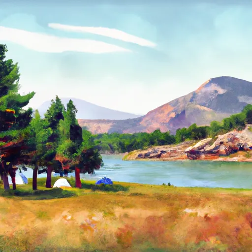
With an elevation of approximately 13,000 feet, it offers breathtaking views and a challenging climb for mountaineers. The mountain boasts a sizeable landmass, providing ample opportunities for exploration and adventure.
During the winter season, Dusty Star Mountain experiences a varied snowpack range, with depths typically ranging from 6 to 10 feet. This snowpack creates ideal conditions for winter sports enthusiasts, such as backcountry skiing and snowshoeing. The mountain's slopes are renowned for their pristine powder and exhilarating descents, attracting experienced skiers from far and wide.
Several creeks and rivers benefit from Dusty Star Mountain's runoff, including the nearby Crystal Creek and Star River. These water sources are essential for the surrounding ecosystem and provide nourishment for various plant and animal species in the region.
As for the name's origin, Dusty Star Mountain gets its name from the shimmering dust particles that dance in the air during sunset, giving the appearance of a sparkling star. Local legends tell tales of a hidden treasure buried deep within the mountain's rugged terrain, adding an air of mystery and intrigue to this majestic peak.
Sources:
1. Rocky Mountain National Park: Official Website
2. United States Geological Survey (USGS) topographic maps
3. Local mountaineering and backcountry skiing guidebooks
°F
°F
mph
Wind
%
Humidity
15-Day Weather Outlook
5-Day Hourly Forecast Detail
Regional Streamflow Levels
60
Cubic Feet Per Second
3,560
Cubic Feet Per Second
113
Cubic Feet Per Second
1,440
Cubic Feet Per Second
Area Campgrounds
| Location | Reservations | Toilets |
|---|---|---|
 Reynolds Creek
|
||
 Gunsight Lake
|
||
 Otokomi Lake
|
||
 Head Red Eagle Lake
|
||
 RISING SUN
|
||
 Foot Red Eagle Lake
|
