2026-02-24T17:00:00-07:00
* WHAT...West winds 35 to 50 mph with gusts up to 80 mph possible. * WHERE...The Northern Front Range Foothills, the Mosquito Range, and the Front Range Mountains including, Rocky Mountain National Park and the Indian Peaks. * WHEN...From Tuesday morning through late Tuesday afternoon. * IMPACTS...Gusty winds will blow around unsecured objects and a few power outages may result. Travel could be difficult, especially for high profile vehicles.
Summary
It is considered one of the famous Fourteeners in Colorado, attracting mountaineers from around the world. The mountain is part of the Mosquito Range and is the 22nd highest peak in the state. With its sheer size and stunning alpine beauty, Mount Bross offers an exhilarating challenge to hikers and climbers.
During the winter season, Mount Bross experiences significant snowfall due to its high elevation. The snowpack varies each year, but typically ranges from eight to ten feet, creating ideal conditions for winter sports enthusiasts. This abundant snowpack also contributes to the mountain's numerous creeks and rivers, which receive runoff during the spring and summer months. One such creek is the Mosquito Creek, which originates from the slopes of Mount Bross and flows through the picturesque valley below.
The name Mount Bross honors William Bross, a prominent figure in Colorado's mining history. He was an early settler, mining entrepreneur, and the Lieutenant Governor of Illinois. In addition to its name, Mount Bross is steeped in fascinating legends and lore. One legend tells of a hidden gold mine on the mountain, attracting treasure hunters to its rugged slopes. However, it's important to note that mining activities are prohibited in the area due to environmental concerns and protected wilderness status.
In conclusion, Mount Bross in the Rocky Mountains is a majestic peak with an elevation of 14,172 feet. Its snowpack during the winter season ranges from eight to ten feet, making it a haven for winter sports enthusiasts. The mountain's runoff feeds creeks and rivers, such as Mosquito Creek. Named after William Bross, a key figure in Colorado's mining history, Mount Bross also carries captivating legends, including tales of hidden gold mines.
°F
°F
mph
Wind
%
Humidity
15-Day Weather Outlook
5-Day Hourly Forecast Detail
Regional Streamflow Levels
21
Cubic Feet Per Second
21
Cubic Feet Per Second
8
Cubic Feet Per Second
73
Cubic Feet Per Second
Area Campgrounds
| Location | Reservations | Toilets |
|---|---|---|
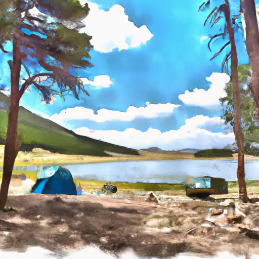 Kite Lake
|
||
 Kite Lake Campground
|
||
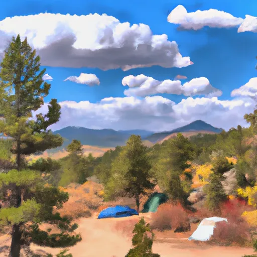 Fourmile
|
||
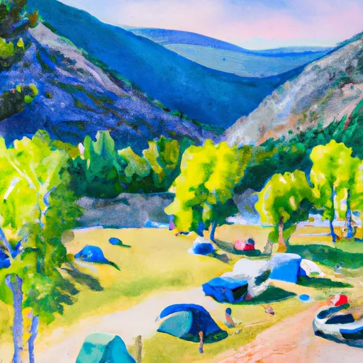 Selkirk Campground
|
||
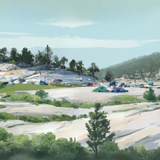 Selkirk
|
||
 Boreas Pass Section House
|
