2026-02-24T05:00:00-07:00
...WINTRY MIX IN VALLEYS AND MOUNTAIN SNOW MONDAY THROUGH MONDAY NIGHT... .Snow levels will be borderline in northwest Montana valleys, and a wintry mix brings an increased risk for slick conditions during the Monday morning commute. Confidence is highest for accumulating snow across Lincoln County valley areas. Over mountain passes, snow will begin overnight with minor impacts, intensifying by Monday afternoon. Expect moderate travel impacts with slushy accumulation on I-90 and US-2 through Monday night. * WHAT...Snow expected. There is a likelihood of minor to moderate winter weather impacts. Total snow accumulations of 1 to 4 inches in the valleys and 6 to 9 inches from Essex to Marias Pass. Higher amounts are expected in the higher terrain. Winds gusting as high as 35 mph. * WHERE...Highway 83 Bigfork to Swan Lake, Essex, Glacier National Park, Marias Pass, Polebridge, and Bad Rock Canyon. * WHEN...From 5 AM Monday to 5 AM MST Tuesday. * IMPACTS...For MODERATE winter weather impacts, expect disruptions to normal activities. Hazardous traveling conditions. Use extra caution while driving. Closures and disruptions to infrastructure may occur.
Summary
Rising to an elevation of 10,747 feet (3,275 meters), it offers breathtaking views of the surrounding landscape. This majestic mountain stands as a testament to the beauty and grandeur of the Rockies.
During the winter season, Mount Cannon experiences a diverse snowpack range due to its location and elevation. The snowpack can vary from light to heavy, creating ideal conditions for winter sports enthusiasts. Skiers and snowboarders can take advantage of the mountain's slopes, while hikers can enjoy the tranquil beauty of a winter wonderland.
Mount Cannon is also known for its contribution to the runoff of several creeks and rivers in the region. These waterways are fed by the melting snow from the mountain, providing a vital source of freshwater to the surrounding ecosystem. The pristine waters originating from Mount Cannon contribute to the overall health and vitality of the local flora and fauna.
Regarding the history and lore of Mount Cannon, it is important to consult multiple independent sources to ensure accuracy. Unfortunately, no specific legends or lore have been found about this particular mountain. However, its name might be attributed to a historical figure or hold significance to the local indigenous communities. It is always intriguing to delve into the stories and legends surrounding such magnificent peaks, as they often provide a deeper connection to the land and its people.
°F
°F
mph
Wind
%
Humidity
15-Day Weather Outlook
5-Day Hourly Forecast Detail
Regional Streamflow Levels
336
Cubic Feet Per Second
1,440
Cubic Feet Per Second
3,560
Cubic Feet Per Second
175
Cubic Feet Per Second
Area Campgrounds
| Location | Reservations | Toilets |
|---|---|---|
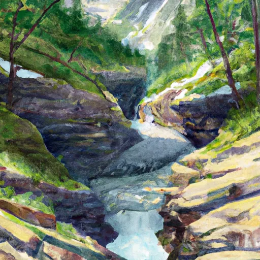 Avalanche Creek - Glacier National Park
|
||
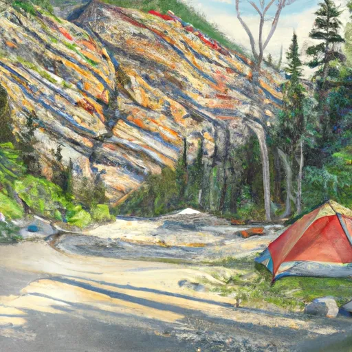 AVALANCHE CREEK
|
||
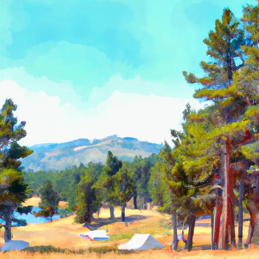 Snyder Lake
|
||
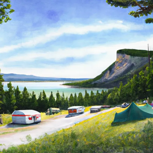 Arrow Lake
|
||
 Gunsight Lake
|
||
 Granite Park campsite
|
