Summary
With its towering elevation, it stands as an impressive landmark for mountaineers and outdoor enthusiasts alike. Rising to a height of approximately 14,000 feet, Mount Lovenia offers breathtaking panoramic views of the surrounding wilderness.
During the winter season, the mountain experiences a wide range of snowpack, typically ranging from 100 to 300 inches. This substantial snow accumulation attracts winter sports enthusiasts who seek the thrill of skiing, snowboarding, and snowshoeing in the area. The snowpack gradually melts during spring, feeding into several creeks and rivers that flow from the mountain, providing a vital water source for the surrounding ecosystems.
The name "Lovenia" holds an intriguing history. While its exact origin is debated among historians, some believe it was named after a Native American tribe that once inhabited the region. Others attribute the name to early European explorers who named it in honor of a loved one. Despite the uncertainty surrounding its etymology, the mountain has become a source of inspiration and fascination, with various legends and lore associated with it. Stories of mythical creatures, hidden treasures, and heroic feats are often shared among mountaineers, adding an air of adventure to the mountain's already captivating allure.
In conclusion, Mount Lovenia is a majestic peak in the Rocky Mountains, offering a challenging ascent for mountaineers. Its towering elevation, significant snowpack range, and contribution to local water sources make it a remarkable natural feature. The mountain's name and associated legends add an element of mystique, enhancing the allure of this stunning natural landmark.
°F
°F
mph
Wind
%
Humidity
15-Day Weather Outlook
5-Day Hourly Forecast Detail
Regional Streamflow Levels
5
Cubic Feet Per Second
97
Cubic Feet Per Second
35
Cubic Feet Per Second
2
Cubic Feet Per Second
Area Campgrounds
| Location | Reservations | Toilets |
|---|---|---|
 Christmas Meadows
|
||
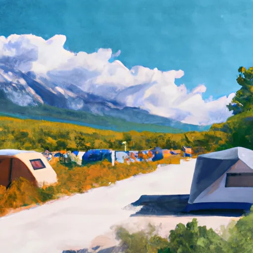 Christmas Meadows Campground
|
||
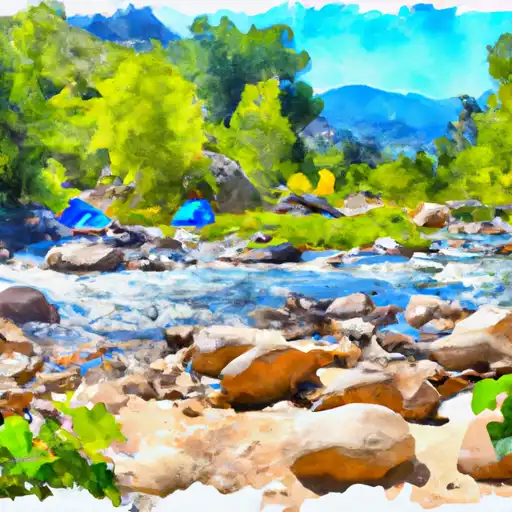 East Fork Bear River
|
||
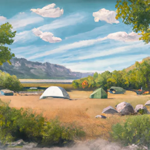 Little Lyman Lake Campground
|
||
 Little Lyman Lake
|

 Amethyst Lake
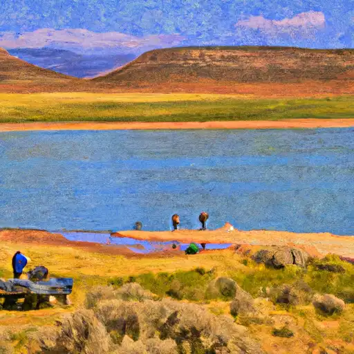 Baker Lake
 Carolyn Lake
 Lym Lake
 Cabin Lake