Summary
Standing at an elevation of 14,229 feet, it is among the many majestic peaks in Colorado. This mountain offers a challenging yet rewarding experience for mountaineers and hikers alike.
During the winter season, Mount Shavano receives a considerable amount of snowfall due to its altitude. The snowpack range can vary, but it typically accumulates between 100 to 200 inches, making it an excellent destination for winter sports enthusiasts. The heavy snowfall provides ample opportunities for backcountry skiing and snowshoeing.
Mount Shavano is surrounded by several creeks and rivers that benefit from its runoff. One notable river is the Arkansas River, which flows through the nearby town of Salida. The mountain's melting snow contributes to the river's water levels, making it a popular spot for whitewater rafting and fishing during the warmer months.
As for its name, Mount Shavano is named after a Ute Indian chief named Captain Shavano. The Ute tribe inhabited the region long before European settlers arrived. Legend has it that Chief Shavano was transformed into the mountain to protect his people from harm. This tale adds a touch of intrigue and fascination to the mountain's history and lore.
In summary, Mount Shavano is a majestic peak in the Rocky Mountains, offering a challenging experience for outdoor enthusiasts. With its high elevation and substantial snowpack during the winter, it provides opportunities for winter sports. Its runoff contributes to the nearby Arkansas River, making it a popular destination for various recreational activities. The mountain's name holds an interesting legend about Chief Shavano's transformation into the peak, adding a sense of mystique to its history.
°F
°F
mph
Wind
%
Humidity
15-Day Weather Outlook
5-Day Hourly Forecast Detail
Regional Streamflow Levels
4
Cubic Feet Per Second
-999
Cubic Feet Per Second
0
Cubic Feet Per Second
-999
Cubic Feet Per Second
Area Campgrounds
| Location | Reservations | Toilets |
|---|---|---|
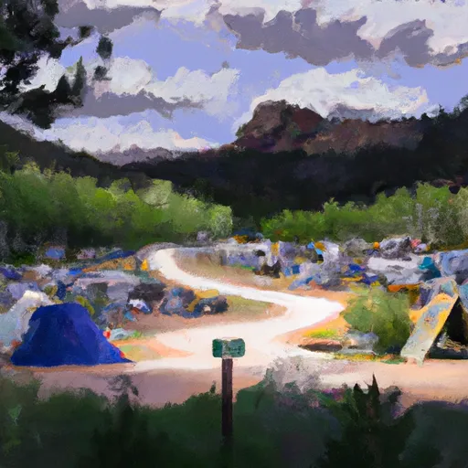 Angel of Shavano Campground
|
||
 Angel of Shavano
|
||
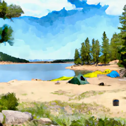 North Fork Reservoir
|
||
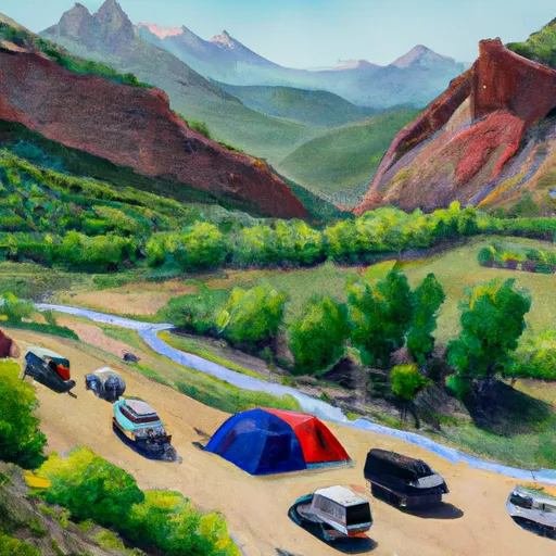 Garfield
|
||
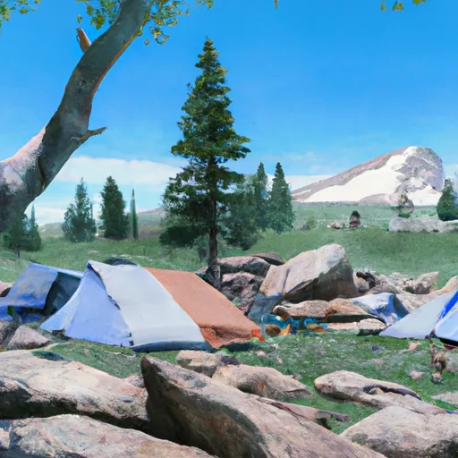 Cascade
|
||
 Chalk Lake
|

 Chalk Lake Fishing Site
 Cottonwood Lake (Buena Vista)
 Cottonwood Lake
 Riverside Ponds (Mt. Ouray SWA)