Summary
Rising to an elevation of 9,980 feet (3,042 meters), it offers breathtaking panoramic views of the surrounding landscapes. The peak is part of the Naomi Peak Wilderness Study Area, covering approximately 3,500 acres of unspoiled wilderness.
During the winter season, Naomi Peak receives ample snowfall due to its higher elevation. Snowpack depth varies each year, ranging from several feet to over 10 feet, making it a favorite destination for winter sports enthusiasts. The mountain's snow-covered slopes attract skiers, snowboarders, and snowshoers, providing excellent recreational opportunities.
Naomi Peak's melting snow contributes to the formation of several creeks and rivers in the region. Some notable water bodies that receive runoff from the mountain include Cold Water Creek, Left Hand Fork, and Right Hand Fork of the Logan River. These waterways offer scenic beauty and provide habitat for various aquatic species.
The origin of the name "Naomi Peak" remains unclear, with no specific historical documentation or legend associated with it. The name might have been chosen by early settlers or explorers, possibly in honor of a person named Naomi. Nevertheless, the lack of concrete information adds an air of mystery to this majestic mountain.
Overall, Naomi Peak in the Rocky Mountains range offers outdoor enthusiasts an awe-inspiring experience with its impressive elevation, diverse snowpack range, and contribution to the local waterways.
°F
°F
mph
Wind
%
Humidity
15-Day Weather Outlook
5-Day Hourly Forecast Detail
Regional Streamflow Levels
124
Cubic Feet Per Second
56
Cubic Feet Per Second
73
Cubic Feet Per Second
271
Cubic Feet Per Second
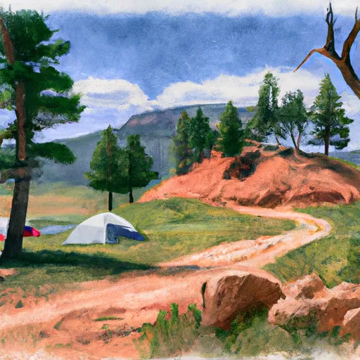
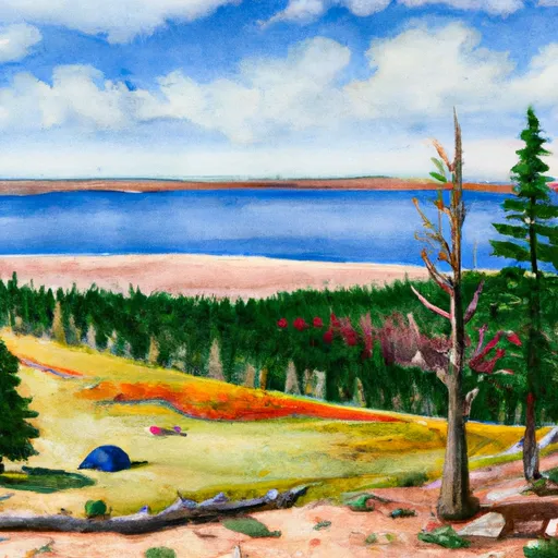
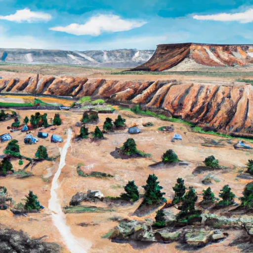
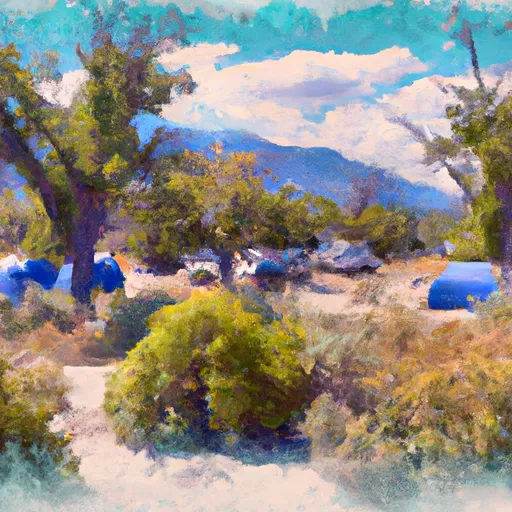
Area Campgrounds
| Location | Reservations | Toilets |
|---|---|---|
 Tony Grove Lake Campground
|
||
 Tony Grove Lake
|
||
 Smithfield
|
||
 Smithfield Campground
|
||
 Lewis M. Turner Campground
|
||
 Red Banks Campground
|
