Summary
Rising to an impressive elevation of 13,102 feet (3,993 meters), it is the second-highest peak in the state. Truchas Peak is part of the Pecos Wilderness area, offering breathtaking views of the surrounding landscape.
During the winter season, Truchas Peak experiences a significant snowpack range, with an average snowfall of over 200 inches. The snowpack provides ample opportunities for winter mountaineering and backcountry skiing. It is important to note that due to the high elevation and potentially treacherous conditions, proper equipment, experience, and caution are necessary for those venturing to the summit during this time.
Truchas Peak is a source of runoff for several creeks and rivers, including the Pecos River, which flows into the Rio Grande. The mountain's melting snow feeds these waterways, providing crucial water resources for the region's ecosystems and communities downstream.
As for its name, "Truchas" is the Spanish word for "trout," reflecting the presence of these fish in the area's waterways. The name not only pays tribute to the natural beauty and resources of the region but also reflects the multicultural heritage of New Mexico. While no specific legends or lore are commonly associated with Truchas Peak, the mountain holds a sense of mystery and adventure that attracts outdoor enthusiasts and nature lovers from around the world.
In conclusion, Truchas Peak stands as a majestic mountain in the Rocky Mountains, boasting a significant elevation, abundant snowpack during winter, and contributing to the region's waterways. While its name reflects the presence of trout in the area, the mountain itself remains a captivating destination for mountaineers and nature enthusiasts, inviting them to explore its rugged slopes and commanding views.
°F
°F
mph
Wind
%
Humidity
15-Day Weather Outlook
5-Day Hourly Forecast Detail
Regional Streamflow Levels
6
Cubic Feet Per Second
1
Cubic Feet Per Second
92
Cubic Feet Per Second
-999
Cubic Feet Per Second
Area Campgrounds
| Location | Reservations | Toilets |
|---|---|---|
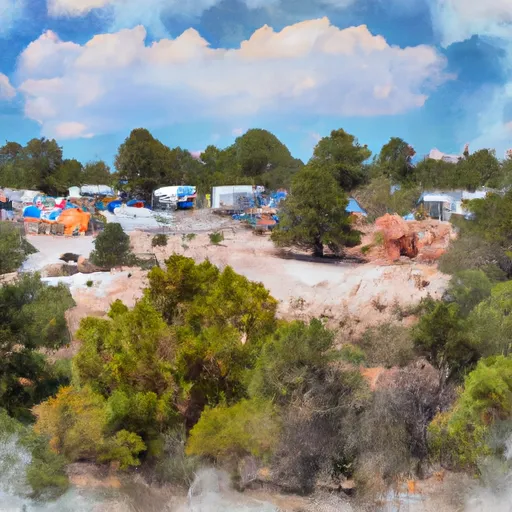 Trampas Campground
|
||
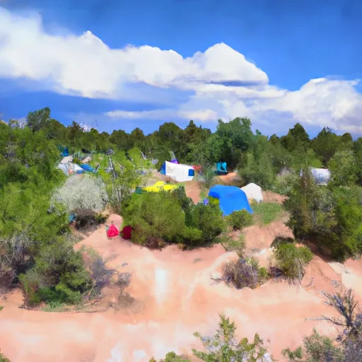 Trampas Medio Campground
|
||
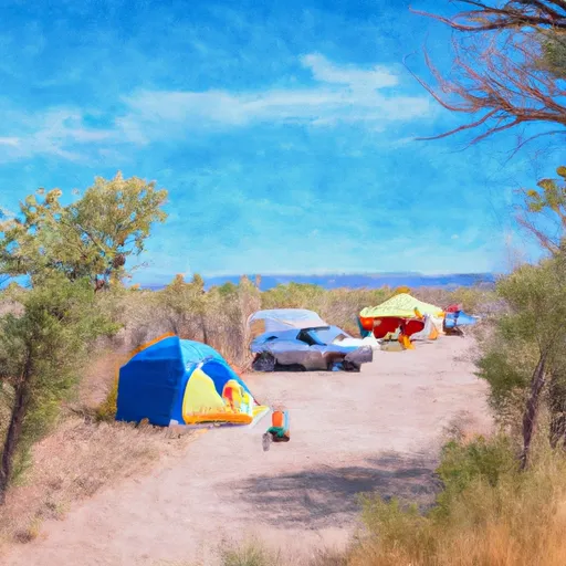 Borrego Mesa Campground
|
||
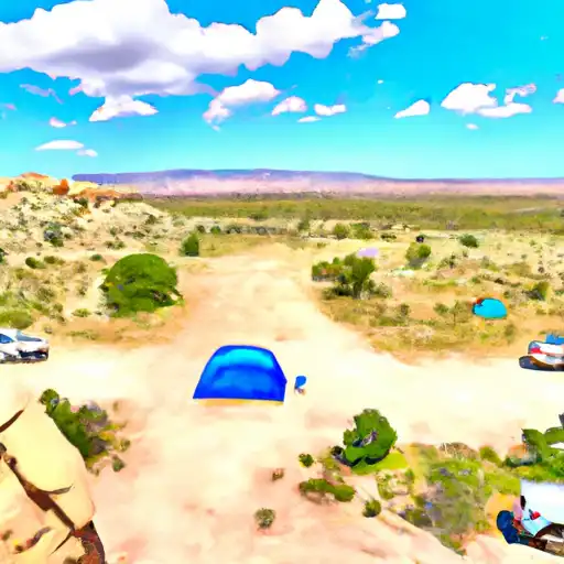 Borrego Mesa
|
||
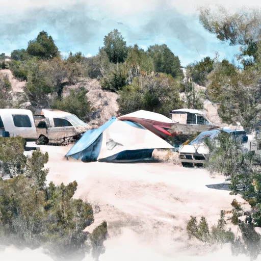 Trampas Diamante Campground
|
||
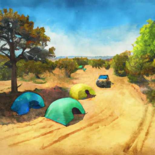 Group Site A
|

 Rio Trampas Fishing
 Windsor Creek
 Cowles Ponds Fishing Site
 Cowles Ponds