Summary
As one of the "Fourteeners" in Colorado, it is a prominent peak that attracts mountaineers from around the world. With its vast size and stunning panoramic views, Uncompahgre Peak offers a challenging and rewarding experience for climbers.
During the winter season, the mountain is typically covered in a thick snowpack. Snow depths can vary significantly, ranging from several feet to several meters depending on the specific weather conditions. This heavy snowfall attracts winter sports enthusiasts who enjoy activities such as skiing and snowshoeing.
Numerous creeks and rivers receive runoff from Uncompahgre Peak, providing a vital water source for the surrounding areas. Some of the notable waterways include the Lake Fork of the Gunnison River and the Cimarron River, which originate from the mountain's melting snow.
The name "Uncompahgre" has its roots in the Ute Native American language and means "dirty water" or "red water." It is believed to refer to the reddish sediment that can be found in some nearby rivers and creeks. Additionally, the mountain has a rich history and is steeped in legends and lore. However, further research is advised to delve deeper into these fascinating tales.
In conclusion, Uncompahgre Peak is a majestic mountain in the Rocky Mountains with an elevation of 14,309 feet. It is known for its heavy snowpack during the winter season, providing ample opportunities for winter sports enthusiasts. The mountain's runoff feeds into various creeks and rivers, including the Lake Fork of the Gunnison River and the Cimarron River. The name "Uncompahgre" originates from the Ute Native American language and has interesting connections to the surrounding water. With its incredible natural beauty and intriguing history, Uncompahgre Peak is a must-visit for mountaineers and nature enthusiasts alike.
°F
°F
mph
Wind
%
Humidity
15-Day Weather Outlook
5-Day Hourly Forecast Detail
Regional Streamflow Levels
68
Cubic Feet Per Second
14
Cubic Feet Per Second
173
Cubic Feet Per Second
-888
Cubic Feet Per Second
Area Campgrounds
| Location | Reservations | Toilets |
|---|---|---|
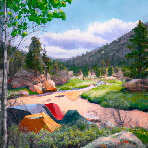 Nellie Creek
|
||
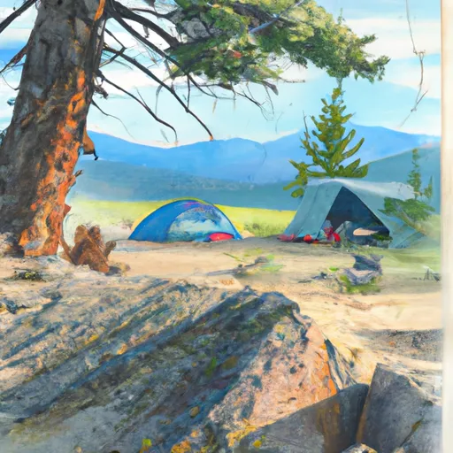 Nellie Creek Site 1
|
||
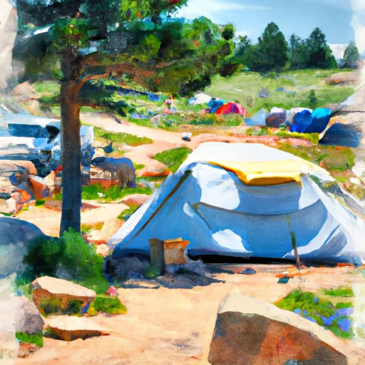 Jackson Guard Station
|
||
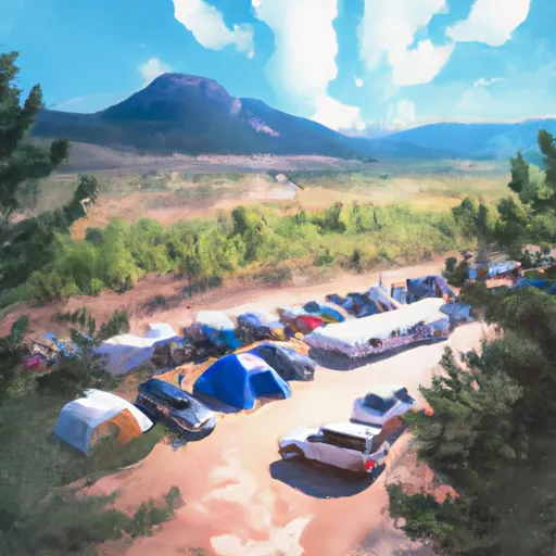 Big Blue Campground - Gunnison RD
|
||
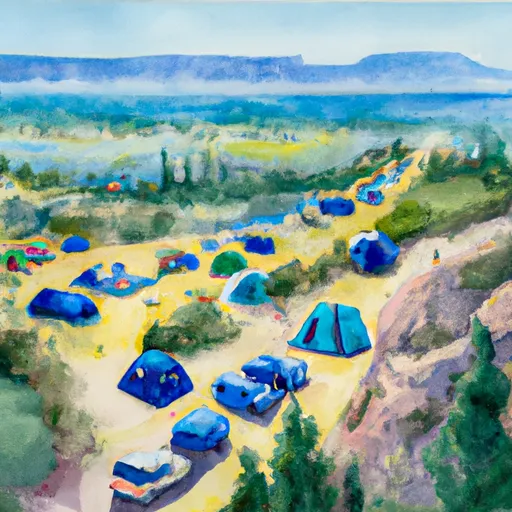 Big Blue
|
||
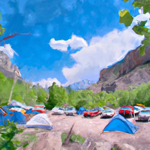 Amphitheater Campground - Ouray RD
|

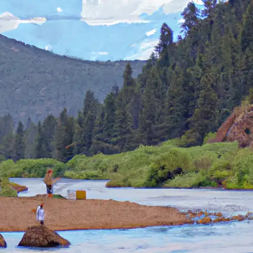 North Fork Animas River
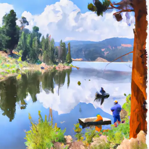 Silver Jack Reservoir
 Lake San Cristobal