2026-02-24T17:00:00-07:00
* WHAT...West winds 35 to 50 mph with gusts up to 80 mph possible. * WHERE...The Northern Front Range Foothills, the Mosquito Range, and the Front Range Mountains including, Rocky Mountain National Park and the Indian Peaks. * WHEN...From Tuesday morning through late Tuesday afternoon. * IMPACTS...Gusty winds will blow around unsecured objects and a few power outages may result. Travel could be difficult, especially for high profile vehicles.
Summary
Standing tall, it reaches a height of approximately 13,052 feet (3,978 meters). This majestic peak offers breathtaking panoramic views of the surrounding landscape and is a favorite among mountaineering enthusiasts.
During the winter season, Weston Peak's snowpack varies greatly. Snowfall and accumulation depend on weather patterns and annual precipitation. The range can experience heavy snowfall, providing excellent conditions for winter sports enthusiasts. As spring arrives, the snow gradually melts, contributing to the runoff in nearby creeks and rivers.
The mountain's name holds historical significance, although the exact origins are not widely known. It is believed to have been named after a prominent figure or early explorer. Unfortunately, not much information regarding folklore or legends associated with Weston Peak is available. As with any mountaineering endeavor, it is crucial to verify the most up-to-date information from multiple reliable sources before planning an expedition to Weston Peak.
°F
°F
mph
Wind
%
Humidity
15-Day Weather Outlook
5-Day Hourly Forecast Detail
Regional Streamflow Levels
73
Cubic Feet Per Second
21
Cubic Feet Per Second
7
Cubic Feet Per Second
3
Cubic Feet Per Second
Area Campgrounds
| Location | Reservations | Toilets |
|---|---|---|
 Weston Pass
|
||
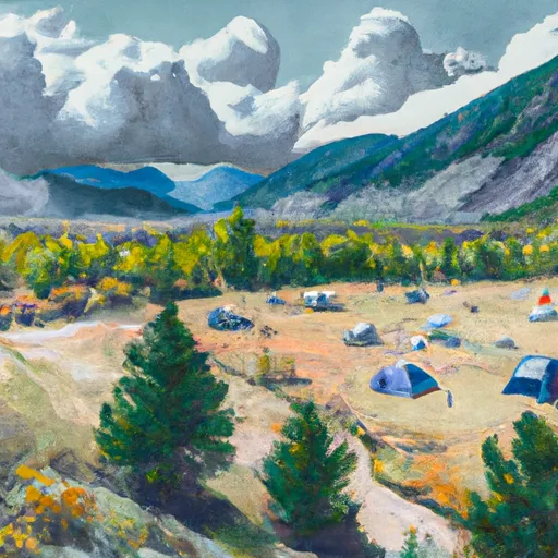 Weston Pass Campground
|
||
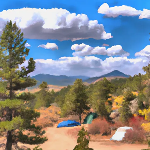 Fourmile
|
||
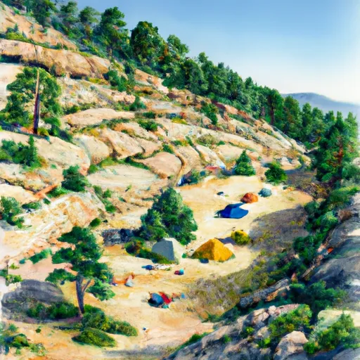 Horseshoe
|
||
 Dexter Campground
|
||
 Dexter Point Campground
|

 Hayden Meadows Reservoir
 Sunnyside Fishing Site
 Clear Creek Reservoir
 Whistler Point
 Big Mac Fishing Site