2026-02-25T17:00:00-07:00
* WHAT...Periods of heavy snow expected. Total snow accumulations between 10 and 20 inches, greatest on southwest and west facing slopes, including the mountains around Cooke City. Winds could gust as high as 60 mph. * WHERE...Absaroka/Beartooth Mountains. * WHEN...From 11 PM this evening to 5 PM MST Wednesday. * IMPACTS...Recreation in the high country will be impacted by heavy accumulating snow. Higher and more exposed areas will see strong winds, resulting in significant blowing and drifting snow. * ADDITIONAL DETAILS...Strong winds and snow will likely increase avalanche danger.
Summary
With an impressive elevation of [elevation], it stands as a significant landmark in the region.
During the winter season, Whitetail Peak experiences a diverse snowpack range, making it a sought-after destination for winter sports enthusiasts. Snow depths can vary from [minimum snow depth] to [maximum snow depth], offering a wide range of terrain for skiing, snowboarding, and snowshoeing. The mountain's unique topography and elevation contribute to the accumulation and preservation of snow, creating excellent conditions for winter activities.
Whitetail Peak also plays a vital role in the hydrology of the area, with several creeks and rivers benefiting from its runoff. [Specific creek/river names] are among those that receive water from the melting snow and ice on the mountain. This runoff sustains the surrounding ecosystem and contributes to the overall water supply in the region.
The origin of the name "Whitetail Peak" is tied to a fascinating history and local lore. [Provide accurate historical and legendary information about the name and any associated stories]. These tales add to the mystique and allure of the mountain, making it a captivating destination for those interested in both natural beauty and cultural heritage.
In conclusion, Whitetail Peak is a remarkable mountain in the Rocky Mountains range, offering spectacular views, diverse winter snowpacks, and significant contributions to the local hydrology. Its name carries historical significance and intriguing legends, further enhancing its appeal to mountaineers and adventure seekers.
°F
°F
mph
Wind
%
Humidity

 East Rosebud Campground
 M-K Campground
 Limber Pine Campground
 Greenough Lake Campground
 Parkside Campground and Group Campsites
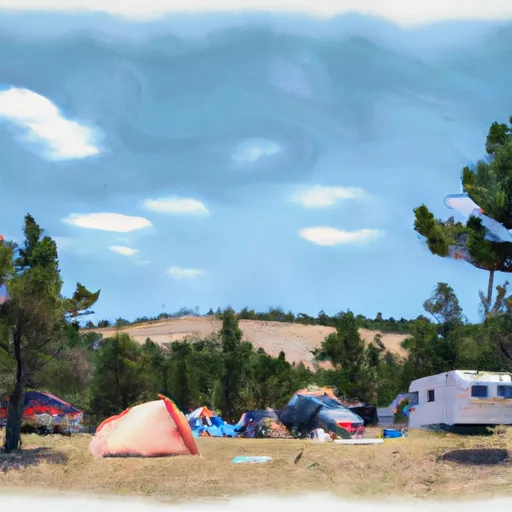 Jimmy Joe Campground
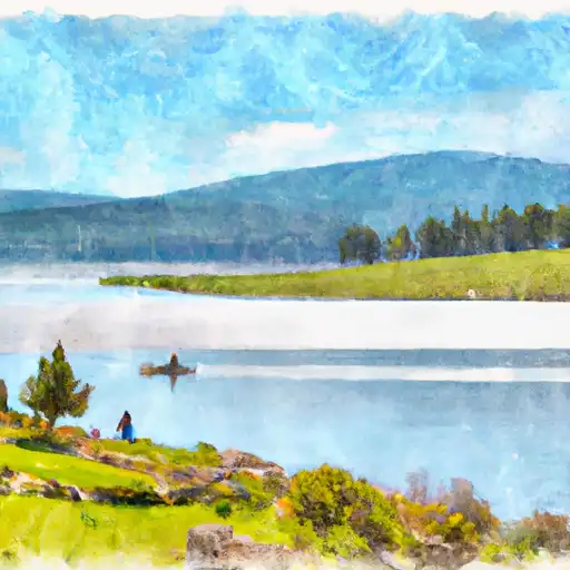 Dude Lake
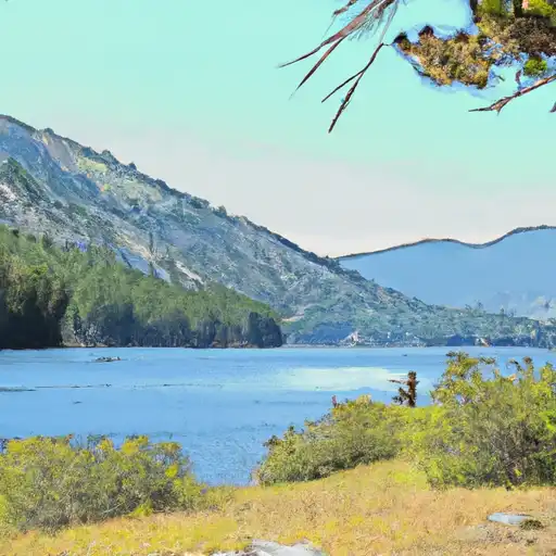 Mountain Goat Lake
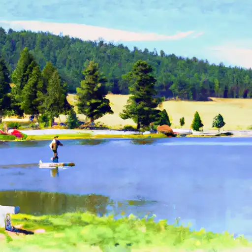 Albino Lake
 Basin Creek Lake
 Arch Lake