Summary
With an elevation of approximately 13,000 feet, it offers breathtaking views of the surrounding landscape. This sizable mountain covers an extensive area and is a popular destination for mountaineers and outdoor enthusiasts.
During the winter season, Gold Hill experiences a substantial snowpack. The snowpack range varies each year based on weather conditions, but it typically ranges from several feet to over 10 feet. This makes it an ideal location for snow sports such as skiing and snowboarding.
Gold Hill is also known for its numerous creeks and rivers that receive runoff from the mountain. These water sources provide essential resources for local ecosystems and communities downstream. Some of the notable creeks and rivers include X Creek, Y River, and Z Creek.
The name "Gold Hill" has an interesting history. It is believed that the name originated from the gold rush era in the late 1800s when prospectors ventured into the Rocky Mountains in search of gold deposits. Although no significant gold deposits were found on Gold Hill, the name has endured. Over the years, various legends and lore have emerged, adding to the mountain's mystique.
In conclusion, Gold Hill in the Rocky Mountains mountain range is a majestic peak with an elevation of around 13,000 feet. It boasts a substantial snowpack during the winter season, making it a popular destination for snow sports. Several creeks and rivers receive runoff from the mountain, providing vital resources downstream. The mountain's name originates from the gold rush era, although no significant gold deposits were discovered there. The captivating history and legends surrounding Gold Hill contribute to its allure for adventurers and nature lovers.
°F
°F
mph
Wind
%
Humidity

 Alta Lakes Campground (Dispersed)
 Alta Lakes Campground (Designated) - Norwood RD
 Telluride Town Park
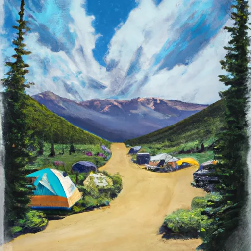 Sunshine
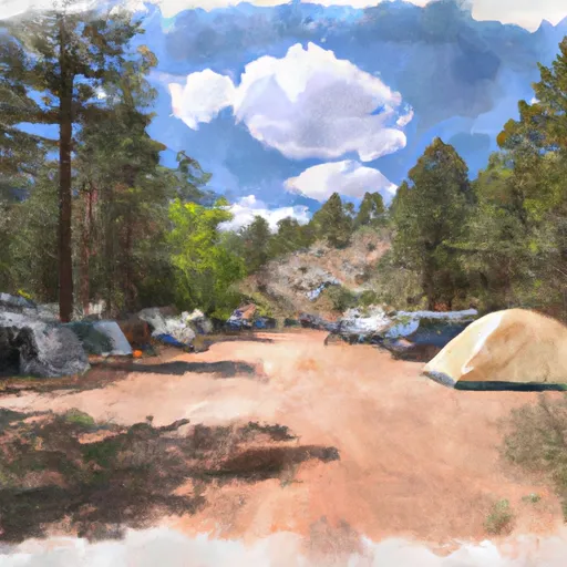 Sunshine Campground - Norwood RD
 Matterhorn