Summary
With an elevation of approximately 14,059 feet (4,285 meters), it ranks as one of Colorado's esteemed fourteeners. The peak is part of the rugged Needle Mountains, which are known for their jagged and picturesque formations.
During the winter season, Sunlight Peak experiences a substantial snowpack. Snow accumulation can vary depending on weather conditions, but it is not uncommon for the mountain to receive several feet of snow. This makes it an attractive destination for backcountry skiing and snowboarding enthusiasts.
Located in close proximity to Sunlight Peak are several creeks and rivers that benefit from its runoff. One such waterway is Needle Creek, which flows below the mountain's southern slopes. This creek is known for its pristine waters and provides a source of freshwater for the surrounding area.
The name "Sunlight Peak" has an intriguing history. It is said to have been named by early explorers who were struck by the way the mountain's peak glowed in the sunlight, creating a stunning visual effect. The lore surrounding the peak includes stories of hidden treasure and mysterious disappearances, adding an air of mystery and adventure to its already captivating presence in the Rocky Mountains.
°F
°F
mph
Wind
%
Humidity
15-Day Weather Outlook
5-Day Hourly Forecast Detail
Regional Streamflow Levels
80
Cubic Feet Per Second
113
Cubic Feet Per Second
113
Cubic Feet Per Second
-888
Cubic Feet Per Second
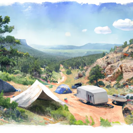
Area Campgrounds
| Location | Reservations | Toilets |
|---|---|---|
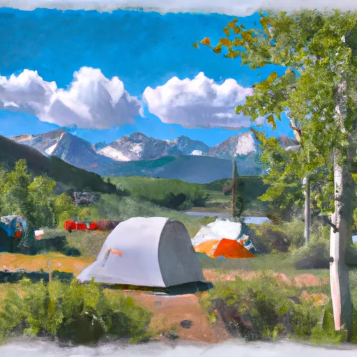 Molas Lake Campground
|
||
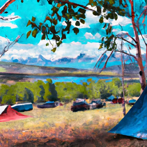 Molas Lake Public Park
|
||
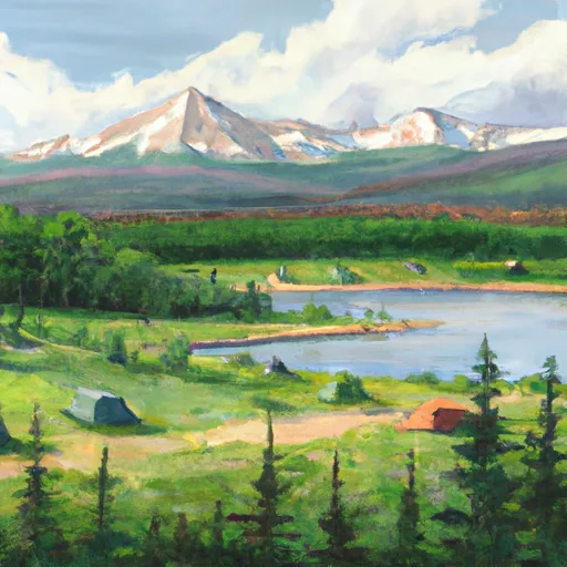 Little Molas Lake Campground
|
||
 Vallecito
|
||
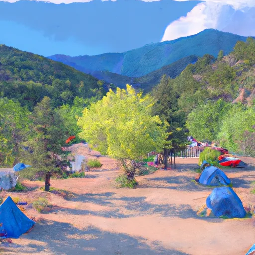 Vallecito Campground
|
||
 Cunnigham Gulch Recreation Site
|
