Summary
Standing at an elevation of 14,015 feet (4,272 meters), it is a notable landmark in the region. The peak offers majestic views of the surrounding area, including the Uncompahgre Wilderness and the stunning Matterhorn Peak.
During the winter season, Wetterhorn Peak receives a substantial amount of snowfall, making it a popular destination for winter sports enthusiasts. The snowpack range varies each year, but on average, it can accumulate several feet of snow, providing excellent opportunities for skiing, snowboarding, and snowshoeing. The mountain's snowpack also contributes to the water sources in the area, with runoff flowing into nearby creeks and rivers.
The name "Wetterhorn" originates from the German language, meaning "weather horn." The peak's name was given by German prospectors who settled in the area during the late 19th century. The name is thought to be inspired by the Wetterhorn mountain in the Swiss Alps, known for its distinctive shape. As for folklore and legends, there are no significant stories or myths specifically associated with Wetterhorn Peak. However, the mountain's natural beauty and challenging terrain continue to captivate mountaineers and outdoor enthusiasts alike, ensuring its place as a beloved destination in the Rocky Mountains.
°F
°F
mph
Wind
%
Humidity
15-Day Weather Outlook
5-Day Hourly Forecast Detail
Regional Streamflow Levels
113
Cubic Feet Per Second
-888
Cubic Feet Per Second
80
Cubic Feet Per Second
-888
Cubic Feet Per Second
Area Campgrounds
| Location | Reservations | Toilets |
|---|---|---|
 Nellie Creek
|
||
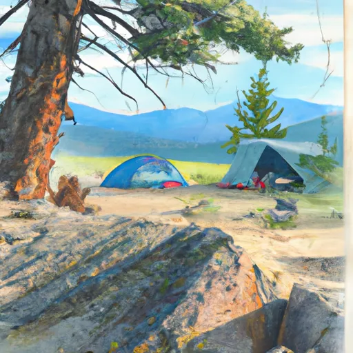 Nellie Creek Site 1
|
||
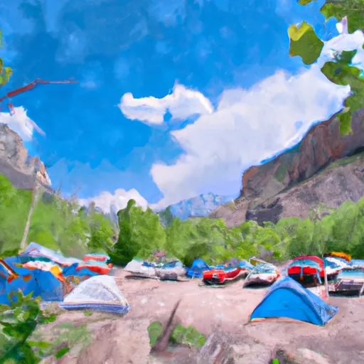 Amphitheater Campground - Ouray RD
|
||
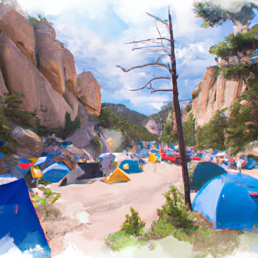 Amphitheater
|
||
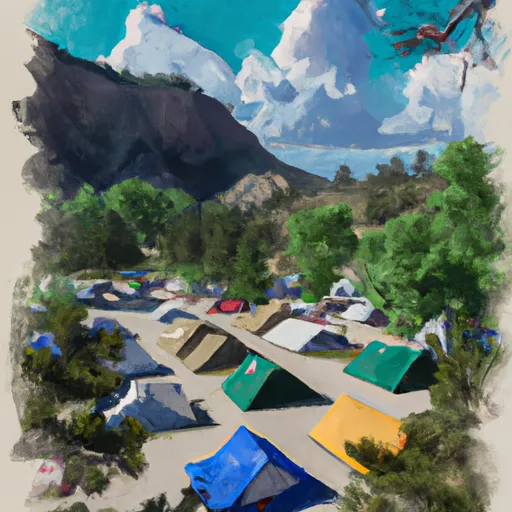 Four J Campground
|
||
 Animas Forks Camp
|
