Summary
This majestic peak offers breathtaking views of the surrounding area, making it a popular destination for mountaineers and outdoor enthusiasts. With its challenging terrain and impressive size, Bull Run Peak provides a thrilling adventure for experienced climbers.
During the winter season, Bull Run Peak experiences a significant amount of snowfall due to its high elevation. The snowpack range varies each year depending on weather conditions, but it typically accumulates several meters of snow, making it a prime location for winter sports such as skiing and snowboarding.
The mountain's runoff feeds into several creeks and rivers in the region. One notable watercourse that receives runoff from Bull Run Peak is the Bull Run Creek, which flows through picturesque valleys and contributes to the local ecosystem. The purity and clarity of the water in these streams and rivers are renowned, attracting nature enthusiasts and wildlife alike.
Regarding the history of the name and any interesting lore or legends associated with Bull Run Peak, there are limited documented sources available. It is advised to consult local indigenous communities or historical records to explore any cultural significance or folklore related to the mountain.
°F
°F
mph
Wind
%
Humidity
15-Day Weather Outlook
5-Day Hourly Forecast Detail
Regional Streamflow Levels
1
Cubic Feet Per Second
139
Cubic Feet Per Second
8
Cubic Feet Per Second
178
Cubic Feet Per Second
Area Campgrounds
| Location | Reservations | Toilets |
|---|---|---|
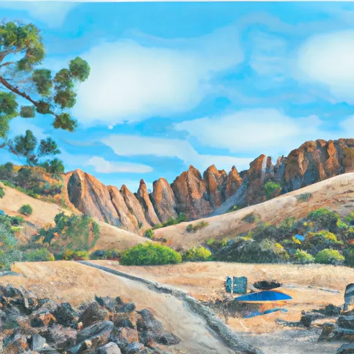 Pacific Valley
|
||
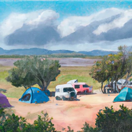 Pacific Valley Campground
|
||
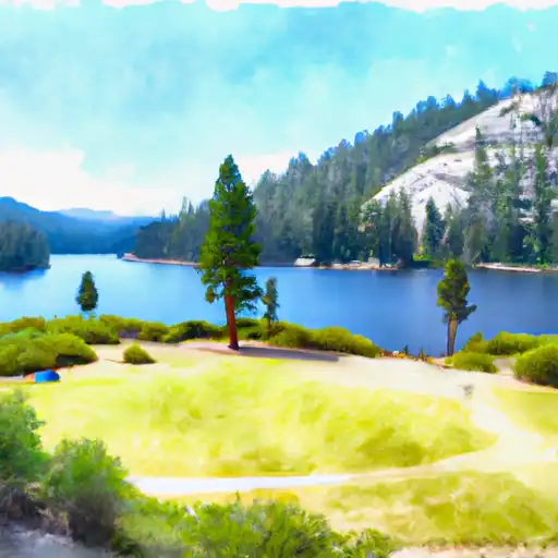 Mosquito Lakes
|
||
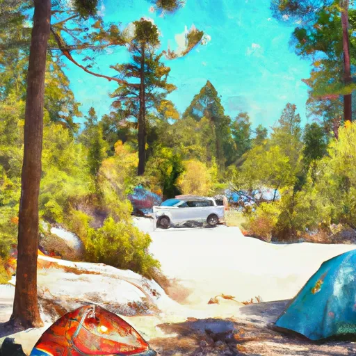 Mosquito Lakes Campground
|
||
 Mosquito Lake Campground
|
||
 Highland Lakes
|

 Hobart Creek
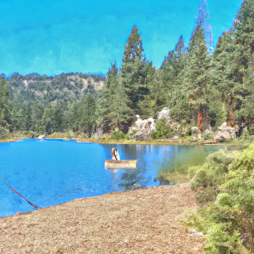 Lower Blue Lake
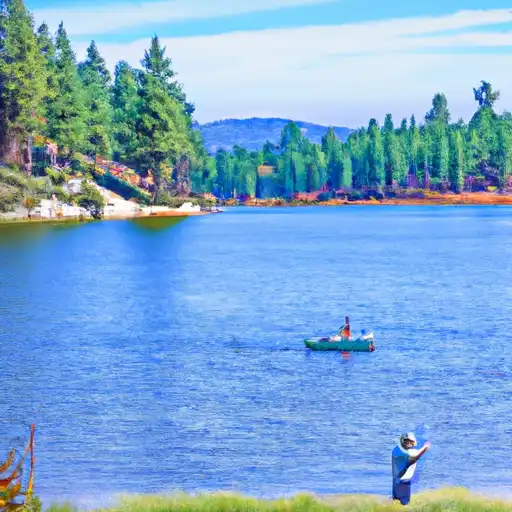 Evergreen Lake
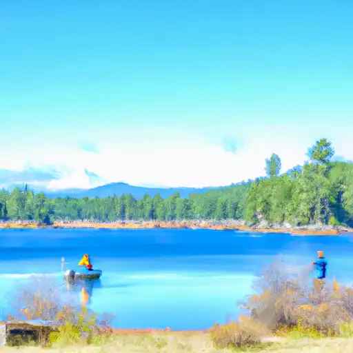 Blue Lakes
 Highland Creek