Summary
Standing tall at an elevation of 10,689 feet (3,258 meters), it offers breathtaking panoramic views of the surrounding Sierra Nevada mountains. This granite dome is a popular destination for mountaineers and rock climbers due to its challenging yet rewarding routes.
During the winter season, Charlotte Dome receives a significant amount of snowfall, resulting in a substantial snowpack. The snowpack range varies from year to year; however, it generally accumulates from November to April, making it an excellent spot for winter sports enthusiasts. The melting snow from Charlotte Dome contributes to the runoff in several creeks and rivers in the region, including the King's River and Bubbs Creek, which play a vital role in the local ecosystem.
The name "Charlotte Dome" has an interesting history. The dome was named after Charlotte Dade, the wife of Lieutenant James Dade, who was an early explorer in the Sierra Nevada region. The name was given by early settlers and has stuck ever since. While no significant legends or lore are associated with Charlotte Dome, its impressive size, challenging routes, and scenic beauty continue to captivate and inspire mountaineers and adventurers from around the world.
°F
°F
mph
Wind
%
Humidity
15-Day Weather Outlook
5-Day Hourly Forecast Detail
Regional Streamflow Levels
7
Cubic Feet Per Second
20
Cubic Feet Per Second
354
Cubic Feet Per Second
60
Cubic Feet Per Second
Area Campgrounds
| Location | Reservations | Toilets |
|---|---|---|
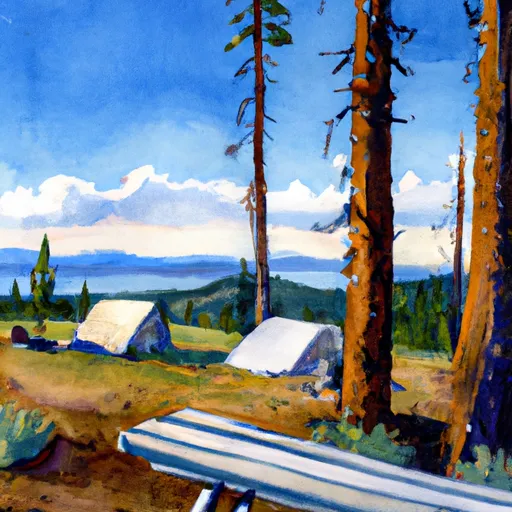 Charlotte Lake Camp Area
|
||
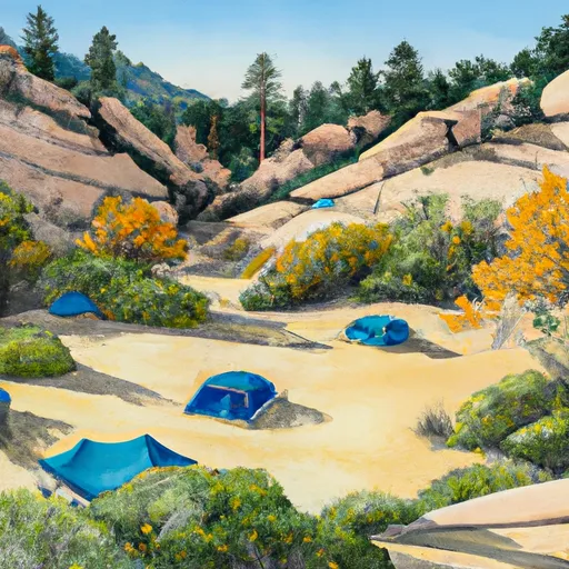 Lower Paradise Valley
|
||
 Onion Valley Campground
|
||
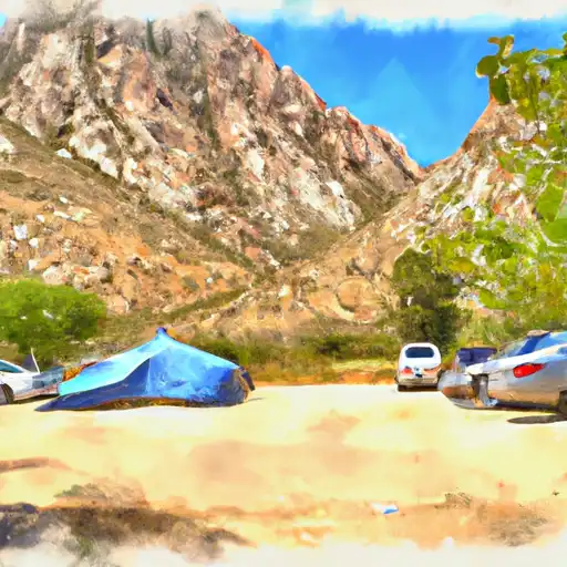 Onion Valley
|
||
 Middle Paradise Valley
|
||
 Upper Paradise Valley
|

 Flower Lake
 Gilbert Lake
 Parker Lakes
 Little Pothole Lake
 Robinson Lake