Summary
With an elevation of 8,019 feet (2,444 meters), it offers breathtaking panoramic views of the surrounding area. This majestic peak is known for its rugged terrain, making it a popular destination for mountaineers and hikers alike.
During the winter season, Donner Peak experiences heavy snowfall due to its location in the Sierra Nevada mountain range. The snowpack range can vary each year, but it typically accumulates several feet of snow, providing excellent opportunities for winter sports enthusiasts. The mountain's snowpack also contributes to the runoff of several creeks and rivers in the region. Notably, Donner Creek, located on the north side of the mountain, receives significant runoff from the melting snow, contributing to the overall water supply.
The name "Donner Peak" holds historical significance and is tied to a tragic event. In the winter of 1846, the Donner Party, a group of pioneers, became stranded in the nearby Donner Pass during heavy snowstorms. Facing severe hardships, some resorted to cannibalism to survive. This dark chapter in history has given the peak its name and adds an aura of intrigue and folklore to the mountain.
Overall, Donner Peak stands as a remarkable destination for mountaineers, offering challenging terrain, stunning views, and a connection to a haunting piece of history.
°F
°F
mph
Wind
%
Humidity

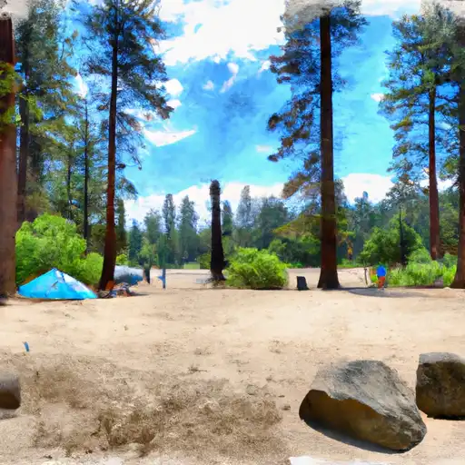 Donner Memorial State Park
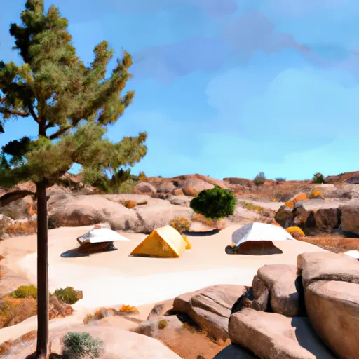 Muninnvagl
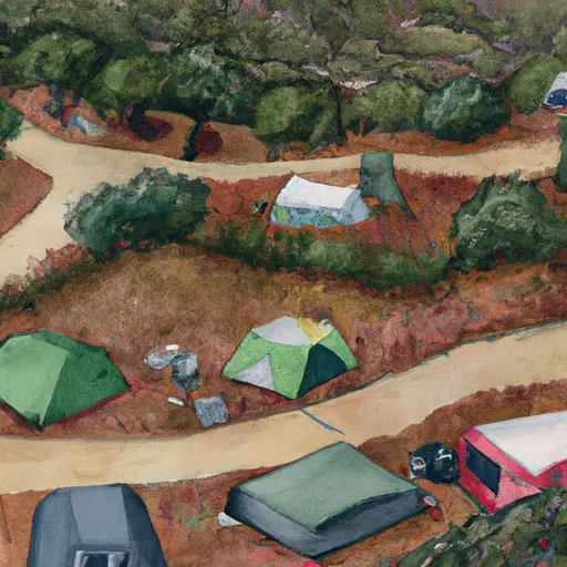 first campsite on the left (3-4 tents)
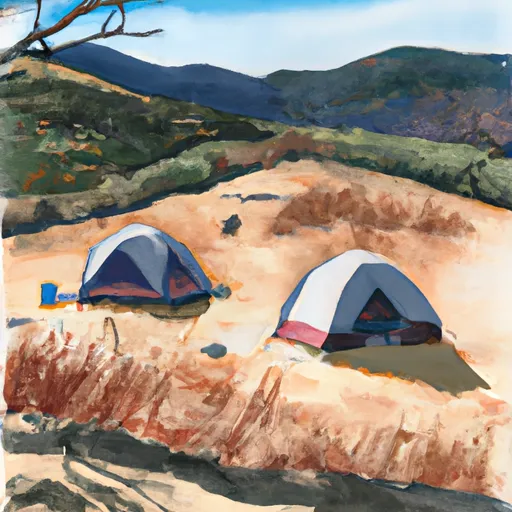 iron throne campsite (2 tents)
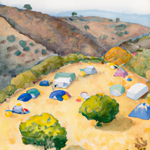 hillside campsite (2-3 tents)
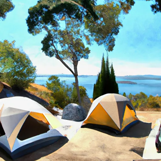 lakeside balcony campsite (1 tent)