Summary
Standing at an impressive elevation of around 14,018 feet (4,273 meters), it is one of the highest peaks in the area. The mountain is named in honor of the renowned Irish physicist and mountaineer, John Tyndall, who conducted important research on glaciers and atmospheric physics.
During the winter season, Mount Tyndall experiences significant snow accumulation due to its high elevation. The snowpack range varies from year to year, but on average, it can reach depths of several feet, creating challenging conditions for mountaineers. The abundant snowfall contributes to the mountain's breathtaking beauty and allure, attracting experienced climbers and adventurers seeking a thrilling winter ascent.
Several creeks and rivers receive runoff from Mount Tyndall, further adding to the mountain's significance. One such watercourse is the Tyndall Creek, which flows down the southern slopes of the peak. This creek is fed by the melting snow and glaciers, providing valuable water resources to the surrounding areas.
In conclusion, Mount Tyndall in the Pacific Ranges boasts impressive elevation and size, offering mountaineers a challenging adventure. Its snowy winters, with substantial snowpack, make it an attractive destination for those seeking winter mountaineering experiences. Moreover, the mountain's runoff feeds important creeks and rivers, contributing to the region's water resources. Its name honors the contributions of John Tyndall, a prominent scientist and mountaineer.
°F
°F
mph
Wind
%
Humidity

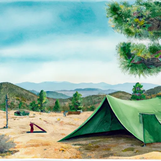 Anvil Camp
 flat rocks campsite (4-5 tents)
 the annex campsite (2-3 tents)
 creek side campsite (3-4 tents)
 woodsy campsite (4-5 tents)
 high-back campsite (2-3 tents)
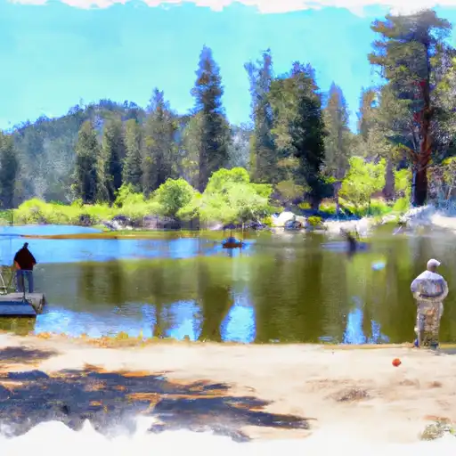 Lower Boy Scout Lake
 Mirror Lake
 North Fork Lone Pine Creek
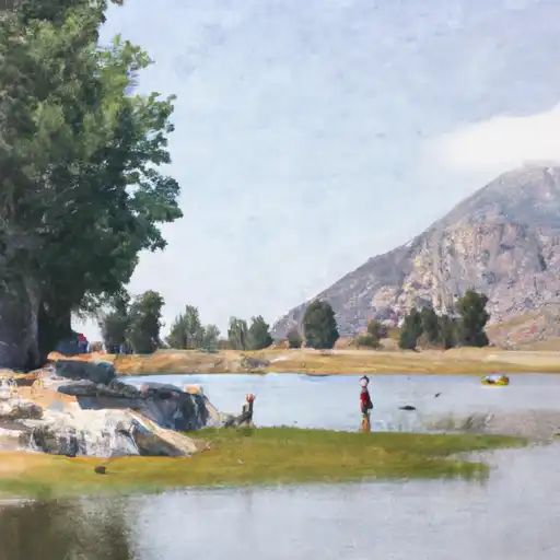 Lone Pine Lake
 Consultation Lake