Summary
Gibbs stands tall as a prominent peak reaching an elevation of 12,773 feet (3,893 meters). This majestic mountain is known for its stunning size and commanding presence in the surrounding landscape. As one of the notable peaks in the region, Mt. Gibbs attracts mountaineers and outdoor enthusiasts seeking adventure and breathtaking views.
During the winter season, Mt. Gibbs experiences a substantial snowpack, creating a winter wonderland for ski mountaineers and snowshoers. The snowpack range varies each year, but typically accumulates several feet deep, providing excellent conditions for winter sports. The mountain's snowpack also contributes to the water supply of nearby creeks and rivers, such as the picturesque Dana Fork and Gibbs Creek. These waterways benefit from the runoff during the spring and summer months, adding to their flow and vitality.
The name of Mt. Gibbs holds historical significance, honoring the American geologist and naturalist, Oliver Wolcott Gibbs. His contributions to the field of mineralogy and his role in the geological survey of California in the mid-1800s led to the mountain's namesake. While no specific lore or legends are widely known about Mt. Gibbs, its imposing beauty and challenging terrain continue to captivate adventurers who explore its slopes.
°F
°F
mph
Wind
%
Humidity
15-Day Weather Outlook
5-Day Hourly Forecast Detail
Regional Streamflow Levels
177
Cubic Feet Per Second
0
Cubic Feet Per Second
0
Cubic Feet Per Second
139
Cubic Feet Per Second
Area Campgrounds
| Location | Reservations | Toilets |
|---|---|---|
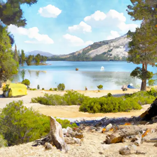 Tioga Lake
|
||
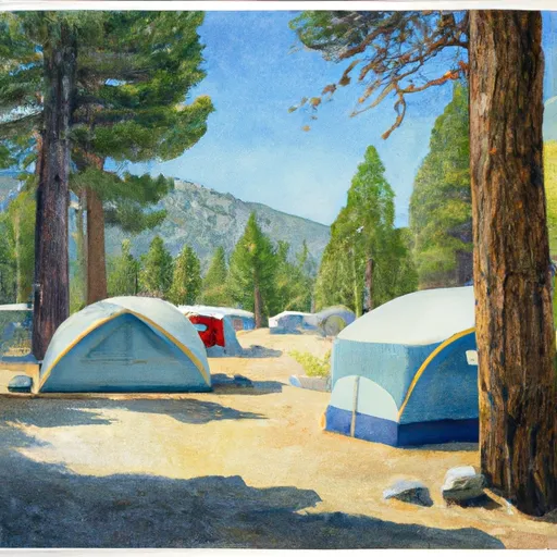 Tioga Lake Campground
|
||
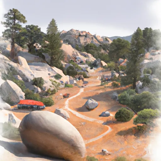 Boulder
|
||
 Ellery
|
||
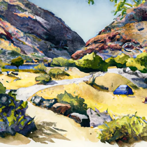 Ellery Lake Campground
|
||
 Lower Lee Vining
|

 Finger Lake
 Rush Creek
 Alpine Lake
 Evelyn Lake
 Silver Lake (June Lake)