Summary
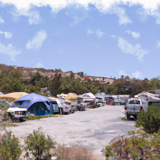
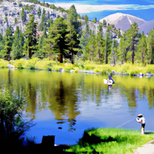
It is located within a short drive of several popular attractions, such as Yosemite National Park, Bodie State Historic Park, and Tioga Pass. The campground provides basic amenities, including fire rings, picnic tables, and toilets. There are 12 campsites available, and reservations can be made online. The best time to visit is between June and September, with average temperatures ranging from 45°F to 80°F. Visitors can enjoy hiking, fishing, and wildlife watching in the area. Overall, Lower Lee Vining Campground is an excellent base camp for exploring the natural wonders of the eastern Sierra Nevada.
°F
°F
mph
Wind
%
Humidity
15-Day Weather Outlook
Nearby Campgrounds
| Location | Reservations |
|---|---|
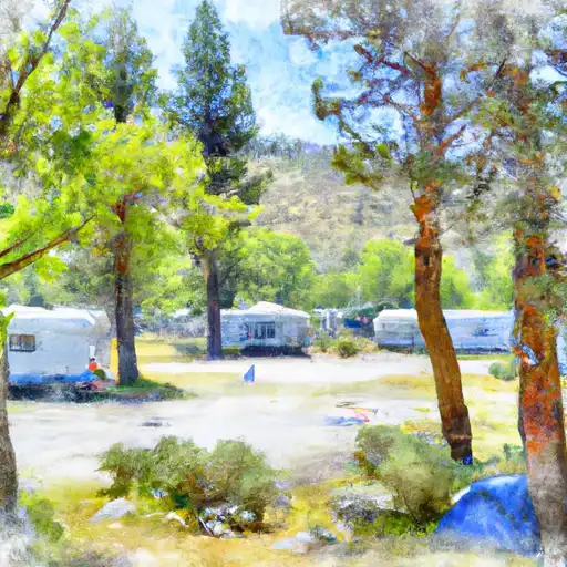 Lower Lee Vining
|
|
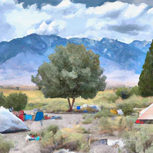 Lower Lee Vining Campground
|
|
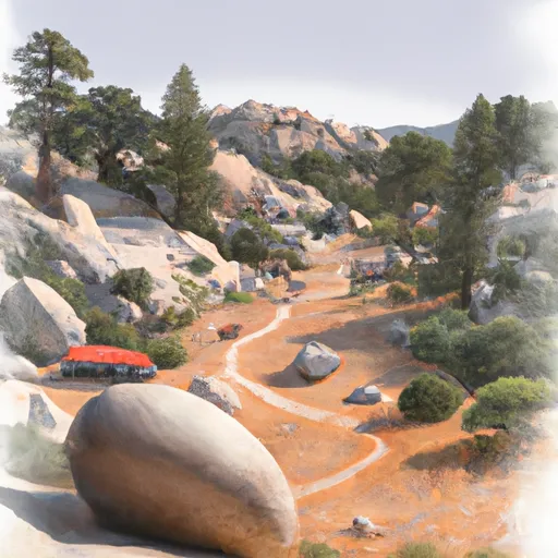 Boulder
|
|
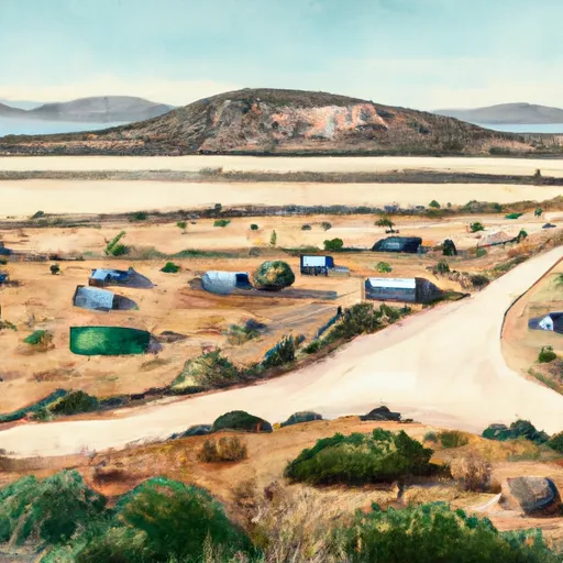 Cattleguard
|
|
 Mono Vista RV Park
|
|
 Ellery
|
5-Day Hourly Forecast Detail
Nearby Streamflow Levels
Camping Essential Practices
Take all trash, food scraps, and gear back with you to keep campsites clean and protect wildlife.
Respect Wildlife
Observe animals from a distance, store food securely, and never feed wildlife to maintain natural behavior and safety.
Know Before You Go
Check weather, fire restrictions, trail conditions, and permit requirements to ensure a safe and well-planned trip.
Minimize Campfire Impact
Use established fire rings, keep fires small, fully extinguish them, or opt for a camp stove when fires are restricted.
Leave What You Find
Preserve natural and cultural features by avoiding removal of plants, rocks, artifacts, or other elements of the environment.
Related Links
Nearby Snowpack Depths
|
NOHRSC TIOGA PASS-DANA MEADOWS
|
7" |
|
LEE VINING 5.9 NW
|
0" |
|
VIRGINIA LAKES RIDGE
|
3" |
|
NOHRSC VIRGINIA LAKES RIDGE
|
3" |
|
NOHRSC TUOLUMNE MEADOWS
|
2" |
|
AGNEW PASS (GOES)
|
5" |

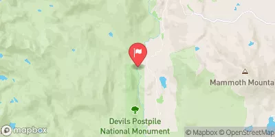
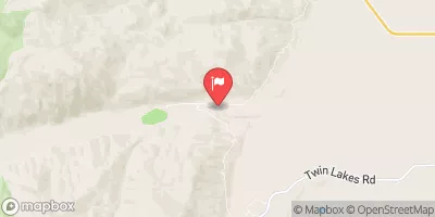
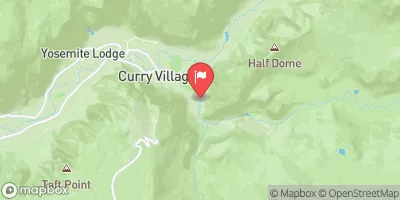
 Sce Powerhouse To La Dept. Of Water And Power Diversion
 Headwaters To Walker Lake
 Saddlebag Lake Rna Boundary To State Highway 120
 Headwaters To Wilderness Boundary
 Headwaters Tributaries To Research Natural Area Boundary
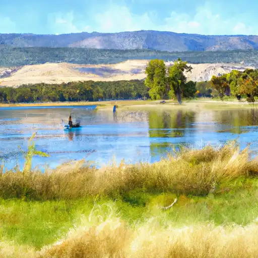 Finger Lake
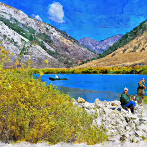 Lundy Lake
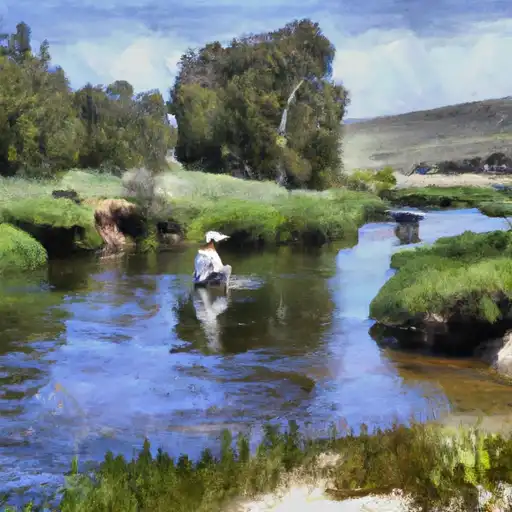 Rush Creek
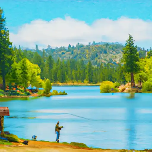 Alpine Lake
 Virginia Lakes