Summary
Rising to an impressive elevation of 9,106 feet, it offers breathtaking panoramic views of the surrounding landscape. With its towering presence, Tryon Peak is a popular destination for mountaineers and outdoor enthusiasts seeking a challenging ascent.
During the winter season, Tryon Peak experiences a diverse snowpack range due to its high elevation. Snowfall is abundant, and the mountain becomes a winter wonderland for backcountry skiers and snowshoers. The snowpack can vary from a few feet to several meters deep, creating ideal conditions for winter sports enthusiasts.
The mountain's runoff feeds into several creeks and rivers, enhancing the region's natural beauty. One such example is the nearby [Creek/River Name], which receives a significant portion of its flow from Tryon Peak. This water source is essential for the local ecosystem and provides a picturesque setting for hikers exploring the area.
The name "Tryon Peak" likely has historical significance, but specific details are scarce. Further research is required to uncover any interesting lore or legends associated with the mountain. Nevertheless, the allure of Tryon Peak lies in its impressive size, challenging terrain, and stunning winter vistas, making it a must-visit destination for mountaineers and nature enthusiasts alike.
°F
°F
mph
Wind
%
Humidity
15-Day Weather Outlook
5-Day Hourly Forecast Detail
Regional Streamflow Levels
178
Cubic Feet Per Second
127
Cubic Feet Per Second
520
Cubic Feet Per Second
51
Cubic Feet Per Second
Area Campgrounds
| Location | Reservations | Toilets |
|---|---|---|
 Bloomfield 2
|
||
 Highland Lakes Campground
|
||
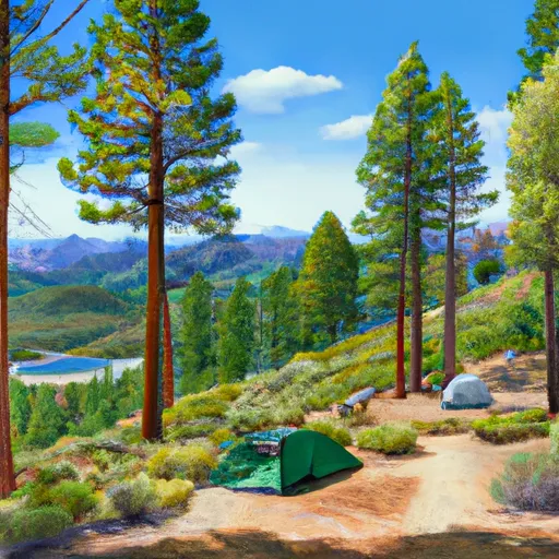 Highland Lakes
|
||
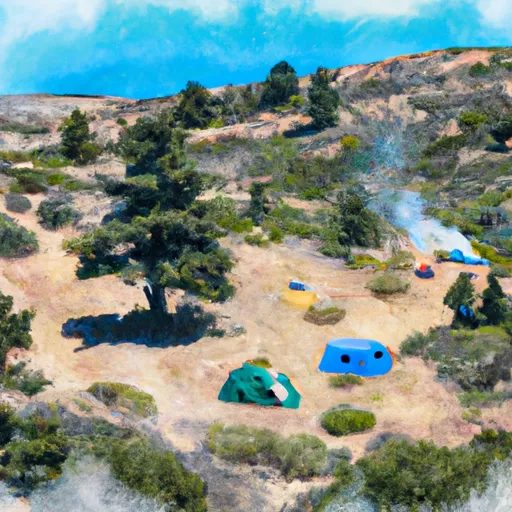 Bloomfield I
|
||
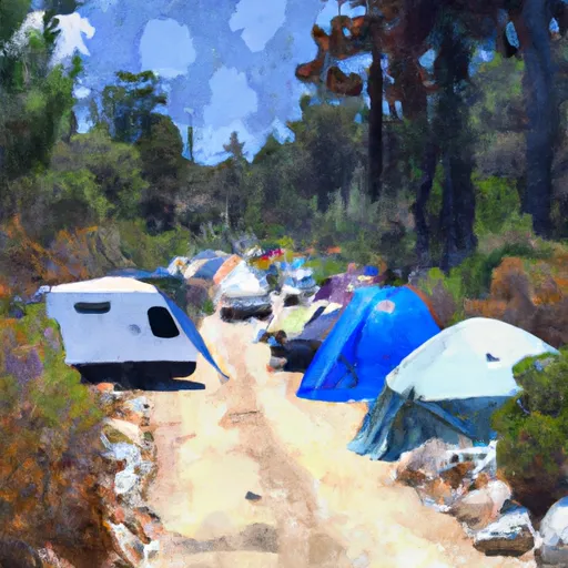 Bloomfield Campground
|
||
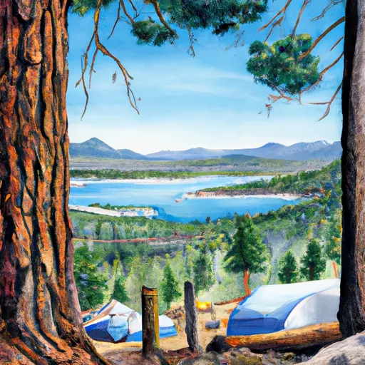 Sherrold Lake
|

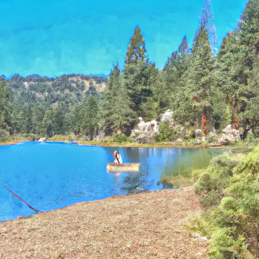 Lower Blue Lake
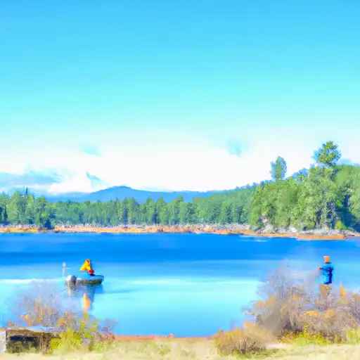 Blue Lakes
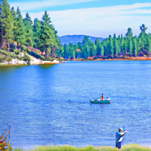 Evergreen Lake