Summary
The ideal streamflow range for this run is between 150 and 400 cubic feet per second (cfs), which generally provides a Class II-III rating. The segment distance for this run is approximately 10 miles, with several specific river rapids and obstacles, including the "Minnie Hole" and "Champagne" rapids. The rapids on this run are generally considered to be technical and narrow, requiring precise maneuvering.
In terms of regulations, all boaters are required to wear personal flotation devices (PFDs) and helmets while on the river. Additionally, there are specific designated put-in and take-out areas, and all vehicles must display a valid park pass. It is also important to note that this run is subject to water levels and weather conditions, and boaters should always check current river conditions before embarking on the run.
Sources:
- "Desoto Falls Whitewater Run," American Whitewater website, accessed February 2021.
- "Desoto State Park Whitewater," Alabama Whitewater website, accessed February 2021.
°F
°F
mph
Wind
%
Humidity
15-Day Weather Outlook
River Run Details
| Last Updated | 2026-02-10 |
| River Levels | 29 cfs (4.3 ft) |
| Percent of Normal | 42% |
| Status | |
| Class Level | ii-iii |
| Elevation | ft |
| Run Length | 9.0 Mi |
| Streamflow Discharge | cfs |
| Gauge Height | ft |
| Reporting Streamgage | USGS 02400680 |


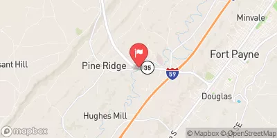
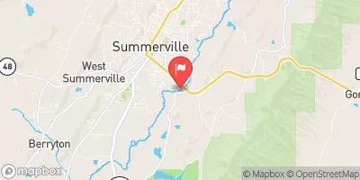
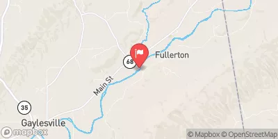
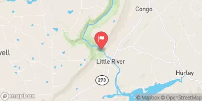
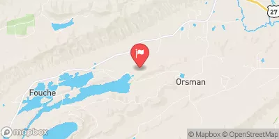
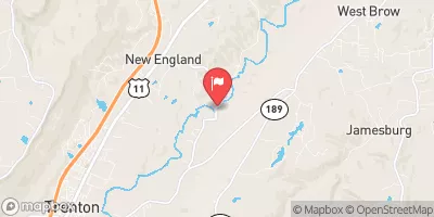
 Desoto Falls In Desoto State Park To Confluence With Little River
 River Miles 8 Near Ga Sate Line To Confluence With Little River
 Confluence With East And West Branches To Al 37 Bridge
 Al 35 Bridge To Ends One Mile Upstream From Al 273 Bridge
 Williams Avenue Athletic Facilities
 Natural Area Zahnd
 Alabama Walking Park
 Crockford-Pigeon Mountain Wildlife Management Area