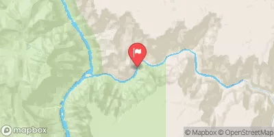
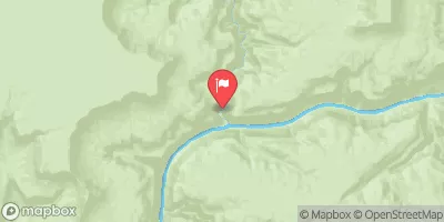
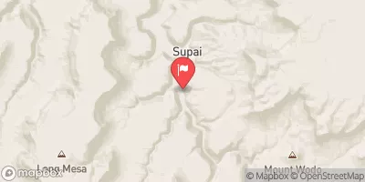
Begins Just Over 1 Mile Beyond Where The Nankoweap Trails Leaves The Creek And Heads Off To The North. To Confluence With The Colorado River Paddle Report
Last Updated: 2026-02-07
Get the latest Paddle Report, Streamflow Levels, and Weather Forecast for Begins Just Over 1 Mile Beyond Where The Nankoweap Trails Leaves The Creek And Heads Off To The North. To Confluence With The Colorado River in Arizona. Arizona Streamflow Levels and Weather Forecast
Summary
°F
°F
mph
Wind
%
Humidity
15-Day Weather Outlook
River Run Details
| Last Updated | 2026-02-07 |
| River Levels | 220 cfs (5.19 ft) |
| Percent of Normal | 71% |
| Status | |
| Class Level | None |
| Elevation | ft |
| Run Length | 4.0 Mi |
| Streamflow Discharge | cfs |
| Gauge Height | ft |
| Reporting Streamgage | USGS 09402300 |
5-Day Hourly Forecast Detail
Nearby Streamflow Levels
Area Campgrounds
| Location | Reservations | Toilets |
|---|---|---|
 saddle camp ground
|
||
 Cape Final
|
||
 North Rim - Grand Canyon National Park
|
||
 Cottonwood Campground
|
River Runs
-
 Begins Just Over 1 Mile Beyond Where The Nankoweap Trails Leaves The Creek And Heads Off To The North. To Confluence With The Colorado River
-
 Eastern Edge Of Kwagunt Valley (Past The Butte Fault) To Confluence With The Colorado River
-
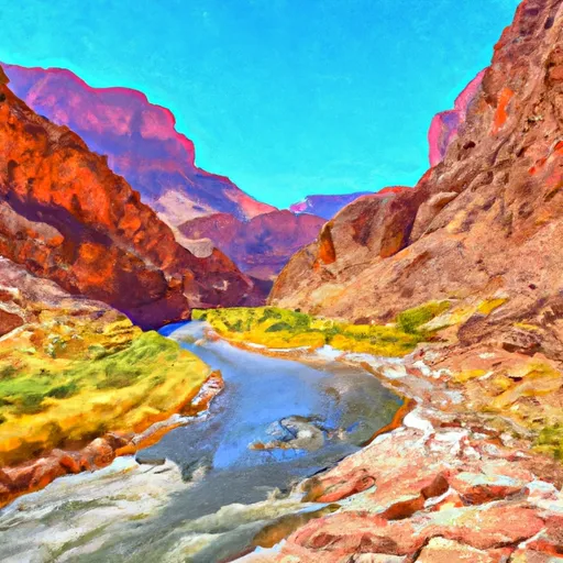 Confluence With Nankoweap Creek To Red Canyon And The Beginning Of Upper Granite Gorge
-
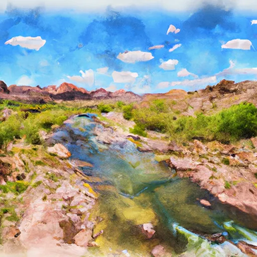 Headwaters To Confluence With The Colorado River
-
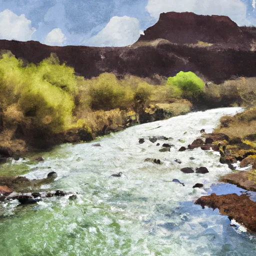 Greenland Spring (Elev. 8000') To Confluence With The Colorado River
-
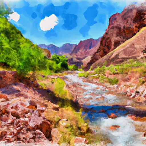 Headwaters To Confluence With Bright Angel Creek


