Summary
The ideal streamflow range for this section of the river is between 2,000 and 10,000 cubic feet per second (cfs). The class rating for this stretch of the river is between III and IV, making it suitable for intermediate to advanced paddlers.
The segment mileage for the Whitewater River Run is approximately 12 miles. The river rapids and obstacles include Horn Creek Rapid, Granite Narrows, and Hance Rapid. These rapids range in difficulty from Class III to Class IV, with Hance Rapid being the most challenging.
There are specific regulations for this area, including a mandatory permit system. All visitors must obtain a permit from the National Park Service to access this section of the river. Additionally, the use of motorized watercraft is prohibited, and all visitors must follow Leave No Trace principles to minimize their impact on the environment.
Overall, the Whitewater River Run is a thrilling and scenic adventure for experienced paddlers. It is important to check the current streamflow conditions and obtain the necessary permits before embarking on this journey.
°F
°F
mph
Wind
%
Humidity
15-Day Weather Outlook
River Run Details
| Last Updated | 2026-02-07 |
| River Levels | 220 cfs (5.19 ft) |
| Percent of Normal | 71% |
| Status | |
| Class Level | iii-iv |
| Elevation | ft |
| Run Length | 7.0 Mi |
| Streamflow Discharge | cfs |
| Gauge Height | ft |
| Reporting Streamgage | USGS 09402300 |
5-Day Hourly Forecast Detail
Nearby Streamflow Levels
Area Campgrounds
| Location | Reservations | Toilets |
|---|---|---|
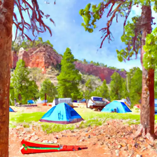 North Rim - Grand Canyon National Park
|
||
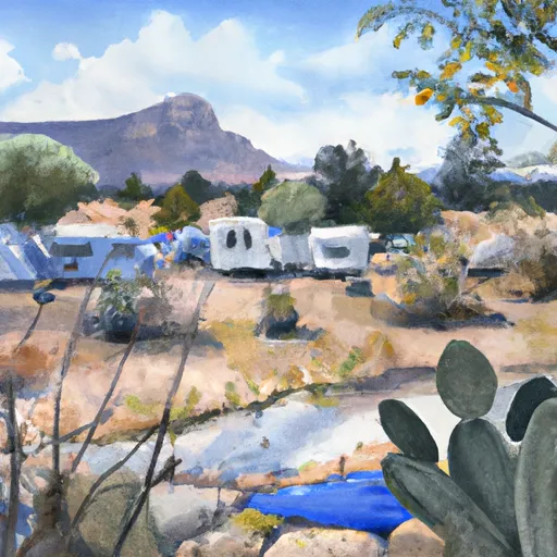 Cottonwood Campground
|
||
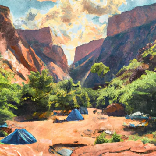 Bright Angel Campground
|
||
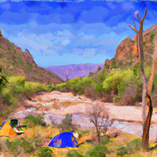 Granite Rapids
|
||
 Point Sublime
|
||
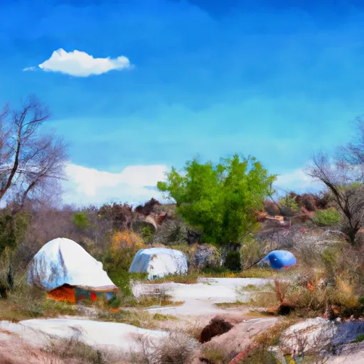 Horn Creek Campsite
|


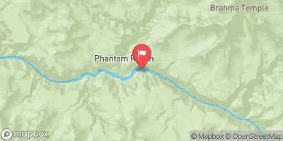
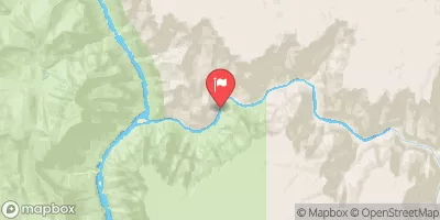
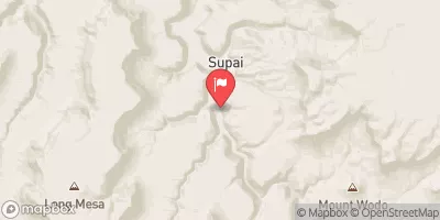
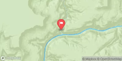
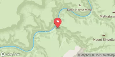
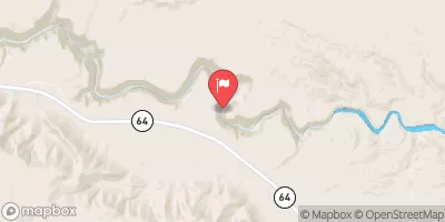
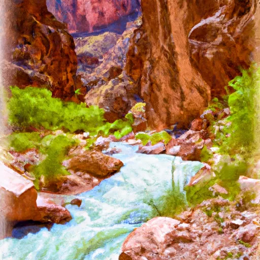 The Base Of The Redwall To Confluence With Bright Angel Creek
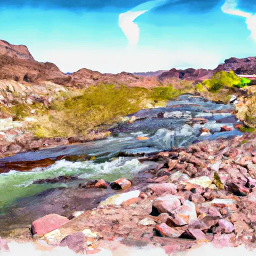 Begins 1 Mile Upstream From Confluence With Dragon Creek To Confluence With The Colorado River
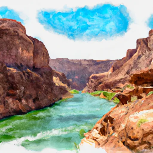 The Base Of The Redwall To Confluence With The Colorado River
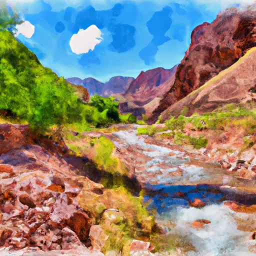 Headwaters To Confluence With Bright Angel Creek